Transport Functions
Rail
Road
Hub Profile
Place type
District seat
Region
Tyrol
Time zone
Europe/Vienna
Elevation
1,101 m
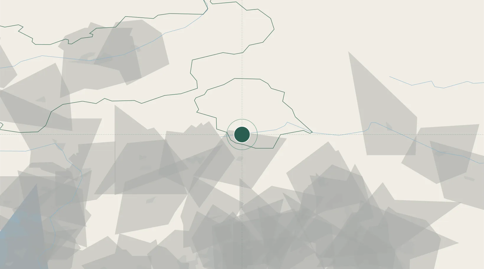
Location
Nearby Logistics Neighbours
Cities
- 1Sesto9 km
- 2Dobbiaco17 km
- 3Valle di Cadore38 km
- 4Gais39 km
- 5Brunico40 km
Ports
- 1Nogaro123 km
- 2Grado134 km
- 3Monfalcone137 km
- 4Porto Di Lido-Venezia148 km
- 5Trieste158 km
Airports
- 1Aviano Air Base81 km
- 2Bolzano Airport92 km
- 3Udine-Rivolto Air Base97 km
- 4Innsbruck Airport101 km
- 5Istrana Air Base122 km
Trade Zones
- 1Free Port of Venice147 km
- 2Consorzio Zona Industriale e Porto Fluviale di Padova157 km
- 3Free Port of Trieste159 km
- 4Livigno Free Trade Zone181 km
- 5Port of Rijeka Free Zone223 km
DatabookThe Record of Consolidated Knowledge
Austria beyond logistics?