Transport Functions
Multimodal
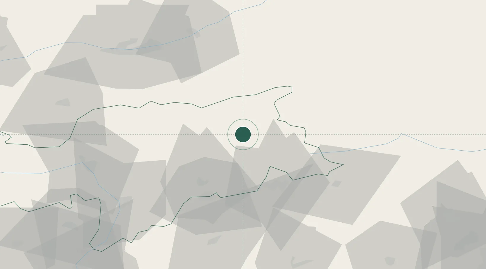
Hub Profile
Place type
District seat
Region
Trentino-Alto Adige
Population
1,764
Time zone
Europe/Rome
Elevation
841 m
Location
Nearby Logistics Neighbours
Cities
- 1Brunico4 km
- 2San Lorenzo di Sebato7 km
- 3Chienes10 km
- 4Dobbiaco24 km
- 5Varna27 km
Ports
- 1Nogaro152 km
- 2Porto Di Lido-Venezia162 km
- 3Grado163 km
- 4Monfalcone170 km
- 5Porto Di Chioggia180 km
Airports
- 1Bolzano Airport63 km
- 2Innsbruck Airport66 km
- 3Aviano Air Base102 km
- 4Trento-Mattarello Airport110 km
- 5Udine-Rivolto Air Base127 km
Trade Zones
- 1Livigno Free Trade Zone145 km
- 2Free Port of Venice158 km
- 3Consorzio Zona Industriale e Porto Fluviale di Padova161 km
- 4Free Port of Trieste191 km
- 5Freeport of Deggendorf235 km
DatabookThe Record of Consolidated Knowledge
Italy beyond logistics?