UN/LOCODE hub · Italy
ITRZT

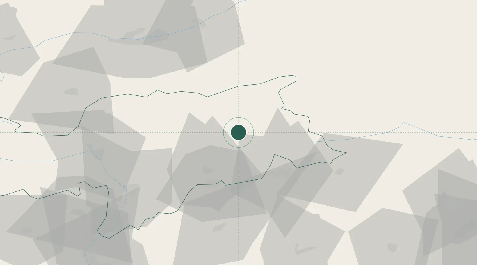
San Lorenzo di Sebato

46.7833°, 11.9000°
1,221
Population
2
Transport functions

Transport Functions

Rail
Road
UN/LOCODE

Hub Profile

Place type
District seat
GeoNames
Region
Trentino-Alto Adige
GeoNames
Population
1,221
GeoNames
Time zone
Europe/Rome
GeoNames
Elevation
810 m
GeoNames

Location

Location of ITRZT
Natural Earth 10m (public domain) · Trentino-Alto Adige · ITRZT · 46.78, 11.90GoogleOSMYandex

Nearby Logistics Neighbours

Cities
  1. 1Brunico3 km
  2. 2Chienes5 km
  3. 3Gais7 km
  4. 4Varna21 km
  5. 5Dobbiaco26 km
Nearest neighbours — logibook spatial index (haversine) over the source coordinates
Ports
  1. 1Nogaro150 km
  2. 2Porto Di Lido-Venezia157 km
  3. 3Grado162 km
  4. 4Monfalcone169 km
  5. 5Porto Di Chioggia175 km
Nearest neighbours — logibook spatial index (haversine) over the source coordinates
Airports
  1. 1Bolzano Airport57 km
  2. 2Innsbruck Airport68 km
  3. 3Aviano Air Base99 km
  4. 4Trento-Mattarello Airport103 km
  5. 5Istrana Air Base123 km
Nearest neighbours — logibook spatial index (haversine) over the source coordinates
Trade Zones
  1. 1Livigno Free Trade Zone140 km
  2. 2Free Port of Venice154 km
  3. 3Consorzio Zona Industriale e Porto Fluviale di Padova155 km
  4. 4Free Port of Trieste191 km
  5. 5Freeport of Deggendorf242 km
Nearest neighbours — logibook spatial index (haversine) over the source coordinates
DatabookThe Record of Consolidated Knowledge
Italy beyond logistics?
Browse databook

All Sources

LocationsUN/LOCODE
UN/LOCODE — free
LocationsGeoNames
CC BY 4.0
Portsthe NGA World Port Index
Public domain (US gov)
AirportsOurAirports
Public domain
Trade Zonesthe World Bank SEZ database
CC BY 4.0
Trade ZonesOpen Zone Map
CC BY
← Italy locations