Transport Functions
Rail
Road
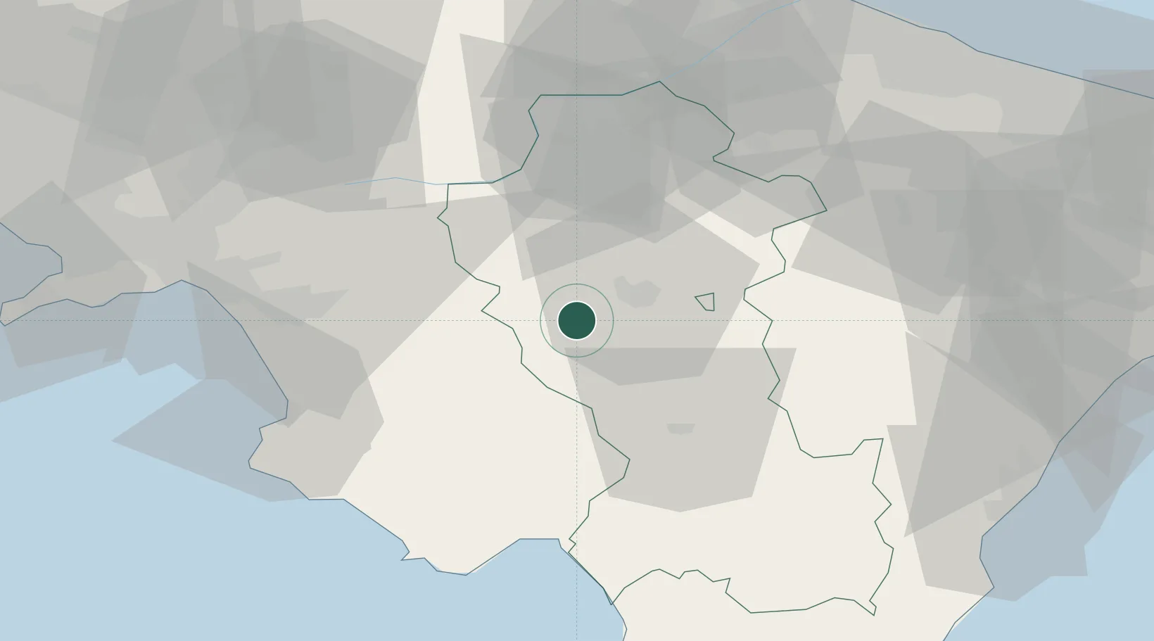
Hub Profile
Place type
District seat
Region
Basilicate
Population
4,237
Time zone
Europe/Rome
Elevation
650 m
Location
Nearby Logistics Neighbours
Cities
- 1Potenza11 km
- 2Polla17 km
- 3Atena Lucana18 km
- 4Sala Consilina23 km
- 5Buccino25 km
Ports
- 1Salerno78 km
- 2Porto Di Barletta99 km
- 3Trani101 km
- 4Castellammare Di Stabia101 km
- 5Bisceglie102 km
Airports
DatabookThe Record of Consolidated Knowledge
Italy beyond logistics?