Transport Functions
Rail
Road
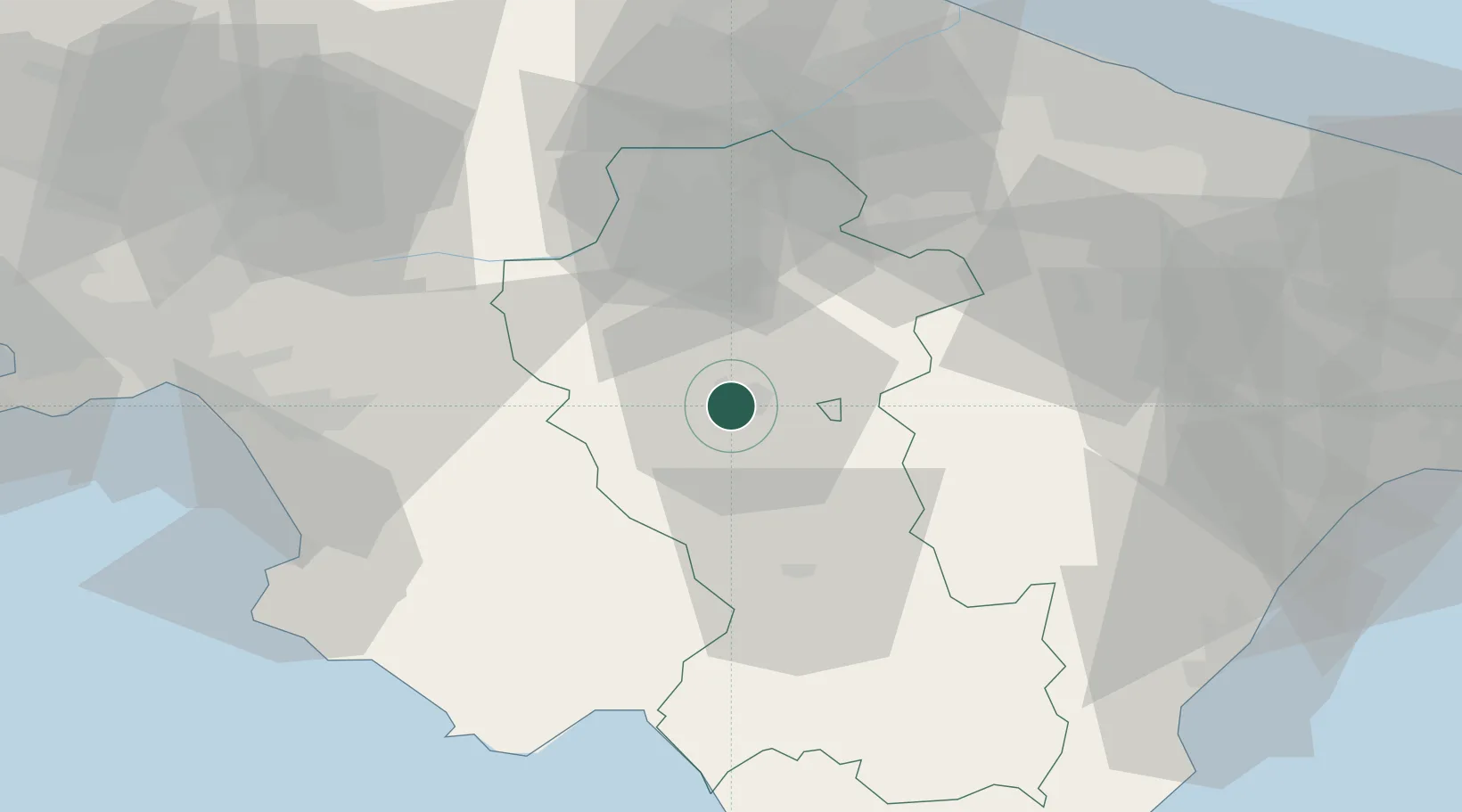
Hub Profile
Place type
Regional capital
Region
Basilicate
Population
56,433
Time zone
Europe/Rome
Elevation
819 m
Location
Nearby Logistics Neighbours
Cities
- 1Tito11 km
- 2Pietragalla16 km
- 3Filiano22 km
- 4Atena Lucana28 km
- 5Polla29 km
Ports
- 1Salerno87 km
- 2Porto Di Barletta89 km
- 3Trani90 km
- 4Bisceglie91 km
- 5Molfetta94 km
Airports
DatabookThe Record of Consolidated Knowledge
Italy beyond logistics?