UN/LOCODE hub · Italy
ITSLD

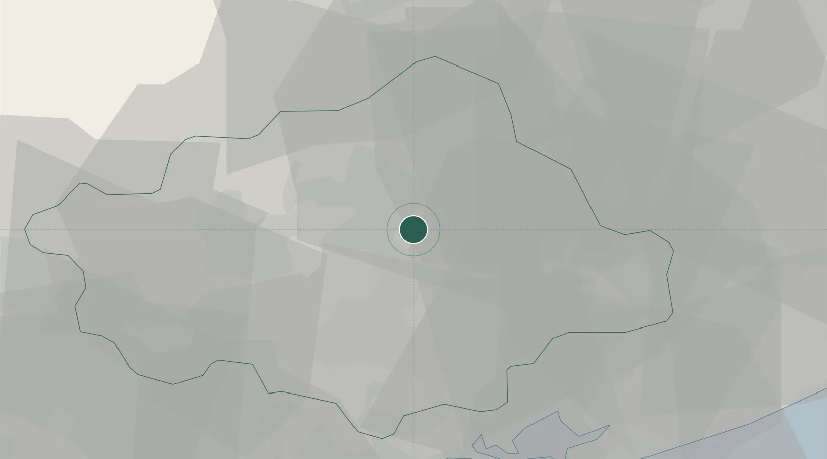
Santa Lucia di Piave

45.8333°, 12.3000°
8,581
Population
2
Transport functions

Transport Functions

Rail
Road
UN/LOCODE

Hub Profile

Place type
District seat
GeoNames
Region
Veneto
GeoNames
Population
8,581
GeoNames
Time zone
Europe/Rome
GeoNames
Elevation
55 m
GeoNames

Location

Location of ITSLD
Natural Earth 10m (public domain) · Veneto · ITSLD · 45.83, 12.30GoogleOSMYandex

Nearby Logistics Neighbours

Cities
  1. 1Olmo Di Martellago2 km
  2. 2Visna8 km
  3. 3Spresiano8 km
  4. 4Zoppè10 km
  5. 5Castello Roganzuolo10 km
Nearest neighbours — logibook spatial index (haversine) over the source coordinates
Ports
  1. 1Porto Di Lido-Venezia48 km
  2. 2Porto Di Chioggia67 km
  3. 3Nogaro68 km
  4. 4Grado79 km
  5. 5Monfalcone97 km
Nearest neighbours — logibook spatial index (haversine) over the source coordinates
Airports
  1. 1Treviso Airport22 km
  2. 2Istrana Air Base23 km
  3. 3Aviano Air Base32 km
  4. 4Venice Marco Polo Airport37 km
  5. 5Padova Gino Allegri Airfield60 km
Nearest neighbours — logibook spatial index (haversine) over the source coordinates
Trade Zones
  1. 1Free Port of Venice45 km
  2. 2Consorzio Zona Industriale e Porto Fluviale di Padova57 km
  3. 3Free Port of Trieste115 km
  4. 4Port of Pula Free Zone161 km
  5. 5Port of Rijeka Free Zone169 km
Nearest neighbours — logibook spatial index (haversine) over the source coordinates
DatabookThe Record of Consolidated Knowledge
Italy beyond logistics?
Browse databook

All Sources

LocationsUN/LOCODE
UN/LOCODE — free
LocationsGeoNames
CC BY 4.0
Portsthe NGA World Port Index
Public domain (US gov)
AirportsOurAirports
Public domain
Trade Zonesthe World Bank SEZ database
CC BY 4.0
Trade ZonesOpen Zone Map
CC BY
← Italy locations