UN/LOCODE hub · Italy
ITCRG
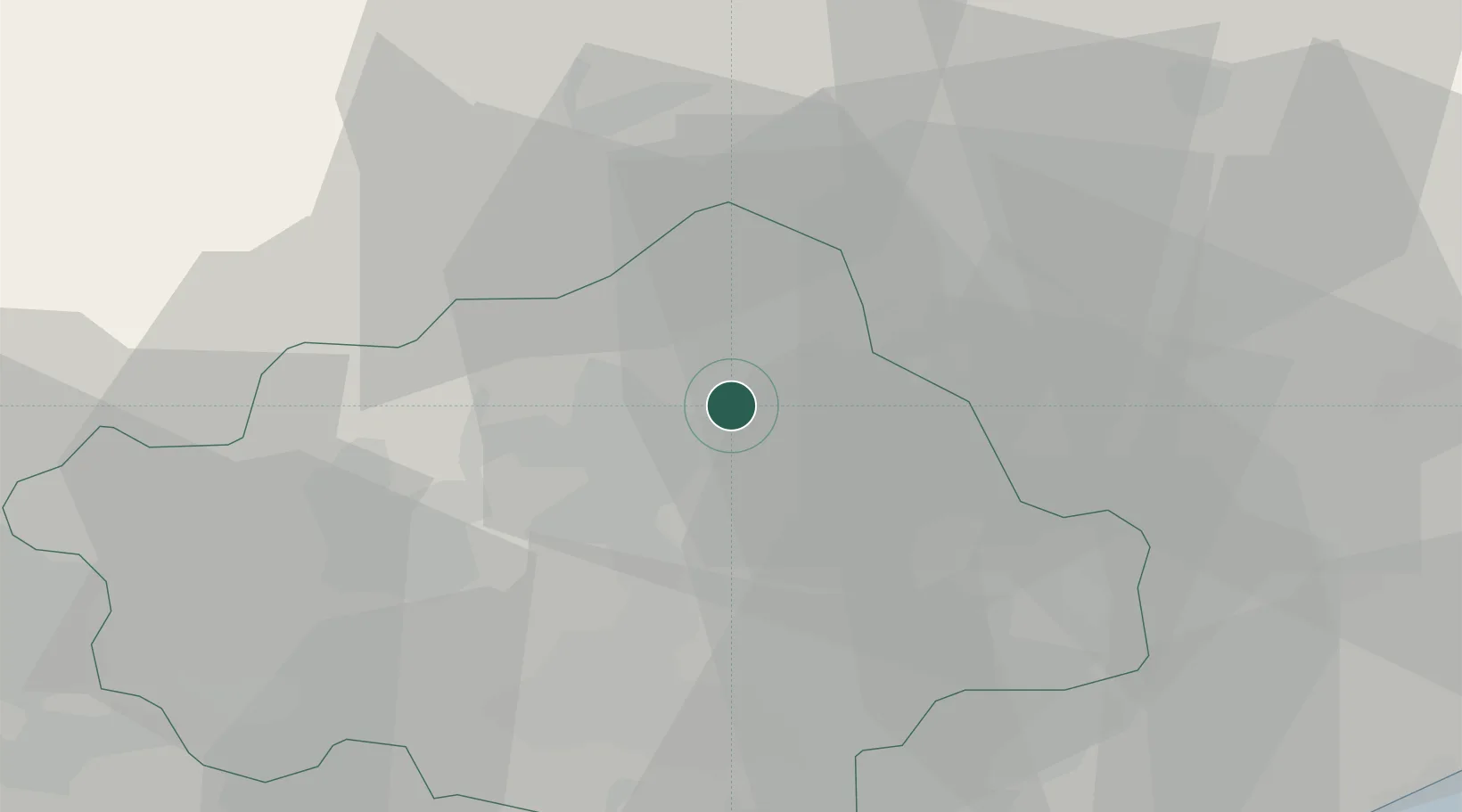
Castello Roganzuolo
45.9167°, 12.3333°
219
Population
2
Transport functions
Transport Functions
Road
Multimodal
Hub Profile
Place type
Populated place
Region
Veneto
Population
219
Time zone
Europe/Rome
Elevation
95 m
Location
Nearby Logistics Neighbours
Cities
- 1Carpesica4 km
- 2Godega di Sant'Urbano6 km
- 3Pianzano6 km
- 4Cappella Maggiore6 km
- 5San Giacomo di Veglia6 km
Ports
- 1Porto Di Lido-Venezia56 km
- 2Nogaro67 km
- 3Porto Di Chioggia76 km
- 4Grado79 km
- 5Monfalcone95 km
Airports
- 1Aviano Air Base24 km
- 2Treviso Airport32 km
- 3Istrana Air Base32 km
- 4Venice Marco Polo Airport46 km
- 5Udine-Rivolto Air Base56 km
Trade Zones
DatabookThe Record of Consolidated Knowledge
Italy beyond logistics?