Transport Functions
Multimodal
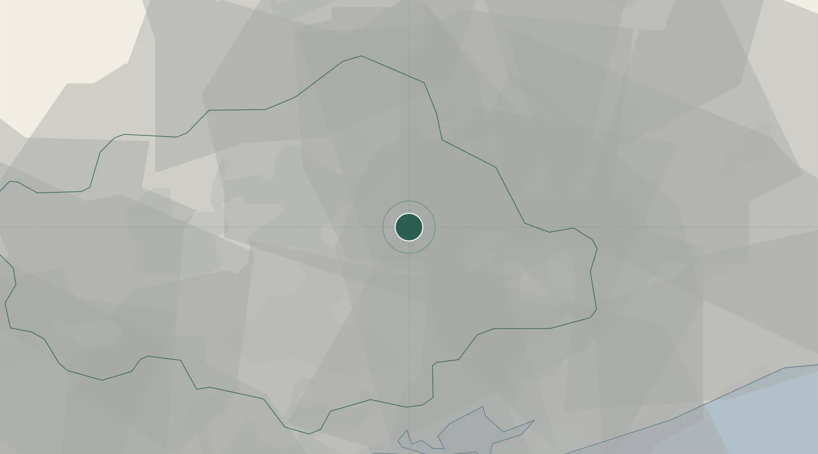
Hub Profile
Place type
Populated place
Region
Veneto
Population
7
Time zone
Europe/Rome
Elevation
0 m
Location
Nearby Logistics Neighbours
Cities
- 1Zoppè6 km
- 2Santa Lucia di Piave8 km
- 3Olmo Di Martellago8 km
- 4Portobuffolè11 km
- 5Castello Roganzuolo11 km
Ports
- 1Porto Di Lido-Venezia46 km
- 2Nogaro60 km
- 3Porto Di Chioggia67 km
- 4Grado71 km
- 5Monfalcone89 km
Airports
- 1Treviso Airport26 km
- 2Aviano Air Base27 km
- 3Istrana Air Base29 km
- 4Venice Marco Polo Airport37 km
- 5Udine-Rivolto Air Base53 km
Trade Zones
DatabookThe Record of Consolidated Knowledge
Italy beyond logistics?