Transport Functions
Multimodal
Hub Profile
Place type
District seat
Region
Veneto
Population
10,287
Time zone
Europe/Rome
Elevation
56 m
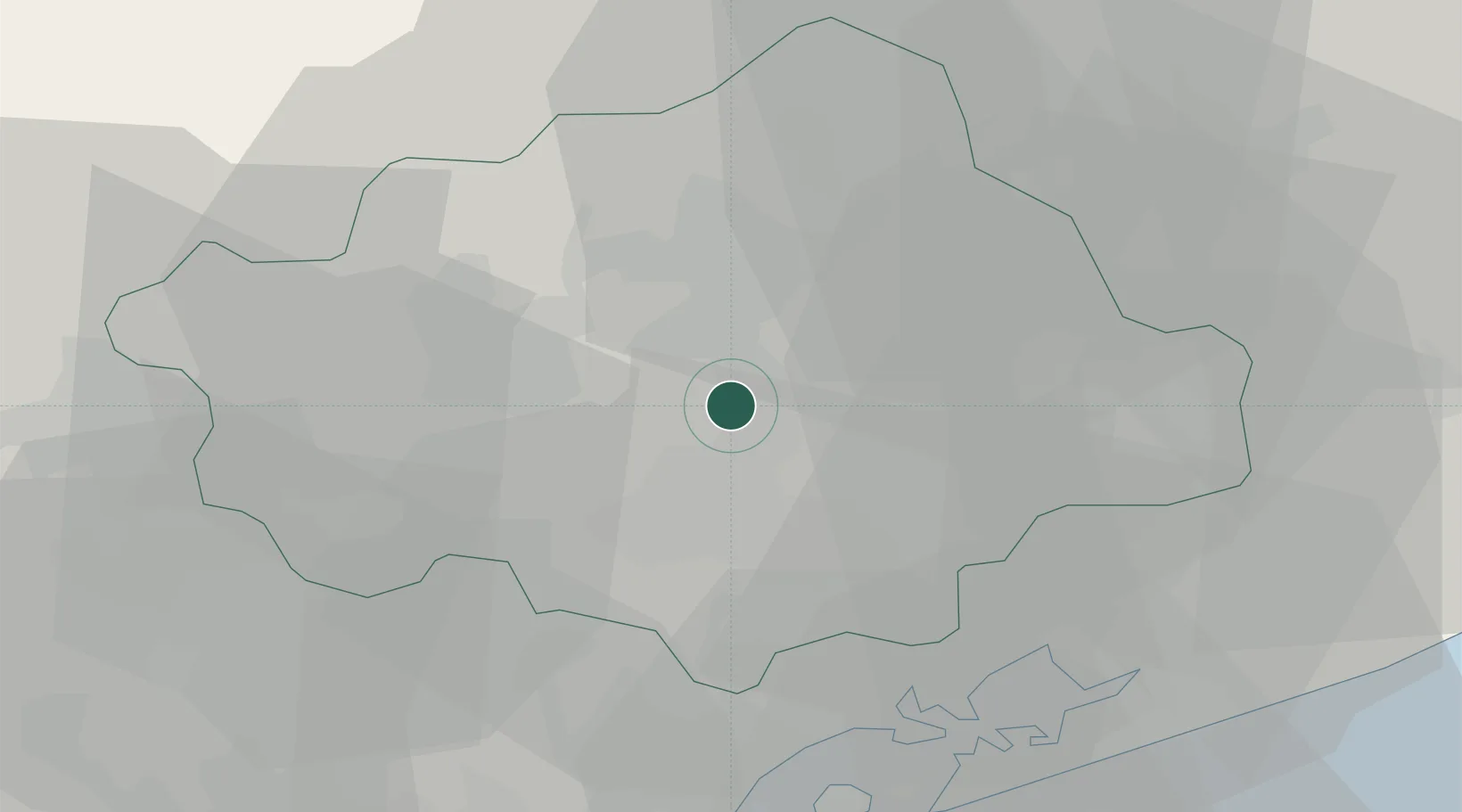
Location
Nearby Logistics Neighbours
Cities
- 1Santa Lucia di Piave8 km
- 2Vacil8 km
- 3Olmo Di Martellago10 km
- 4Volpago del Montello11 km
- 5Castagnole11 km
Ports
- 1Porto Di Lido-Venezia42 km
- 2Porto Di Chioggia59 km
- 3Nogaro71 km
- 4Grado82 km
- 5Monfalcone101 km
Airports
- 1Treviso Airport14 km
- 2Istrana Air Base16 km
- 3Venice Marco Polo Airport30 km
- 4Aviano Air Base40 km
- 5Padova Gino Allegri Airfield52 km
Trade Zones
DatabookThe Record of Consolidated Knowledge
Italy beyond logistics?