Transport Functions
Multimodal
Hub Profile
Place type
Populated place
Region
Veneto
Time zone
Europe/Rome
Elevation
33 m
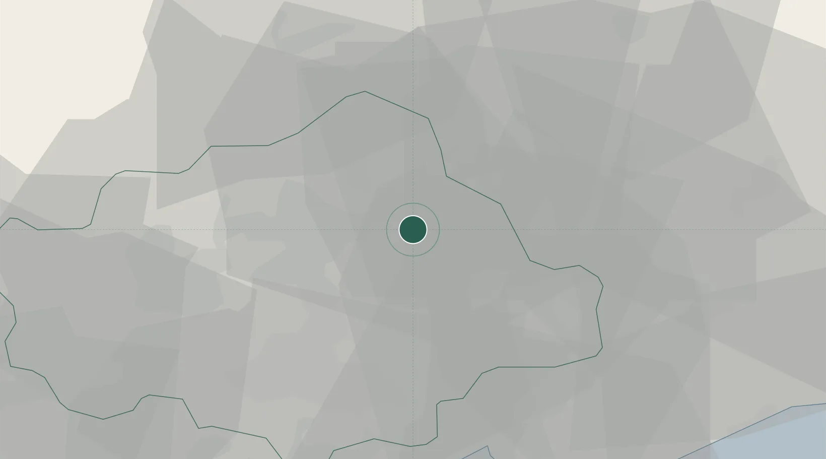
Location
Nearby Logistics Neighbours
Cities
- 1Godega di Sant'Urbano6 km
- 2Pianzano6 km
- 3Visna6 km
- 4Castello Roganzuolo6 km
- 5Carpesica8 km
Ports
- 1Porto Di Lido-Venezia52 km
- 2Nogaro61 km
- 3Grado73 km
- 4Porto Di Chioggia73 km
- 5Monfalcone90 km
Airports
- 1Aviano Air Base22 km
- 2Treviso Airport31 km
- 3Istrana Air Base33 km
- 4Venice Marco Polo Airport42 km
- 5Udine-Rivolto Air Base51 km
Trade Zones
DatabookThe Record of Consolidated Knowledge
Italy beyond logistics?