Transport Functions
Multimodal
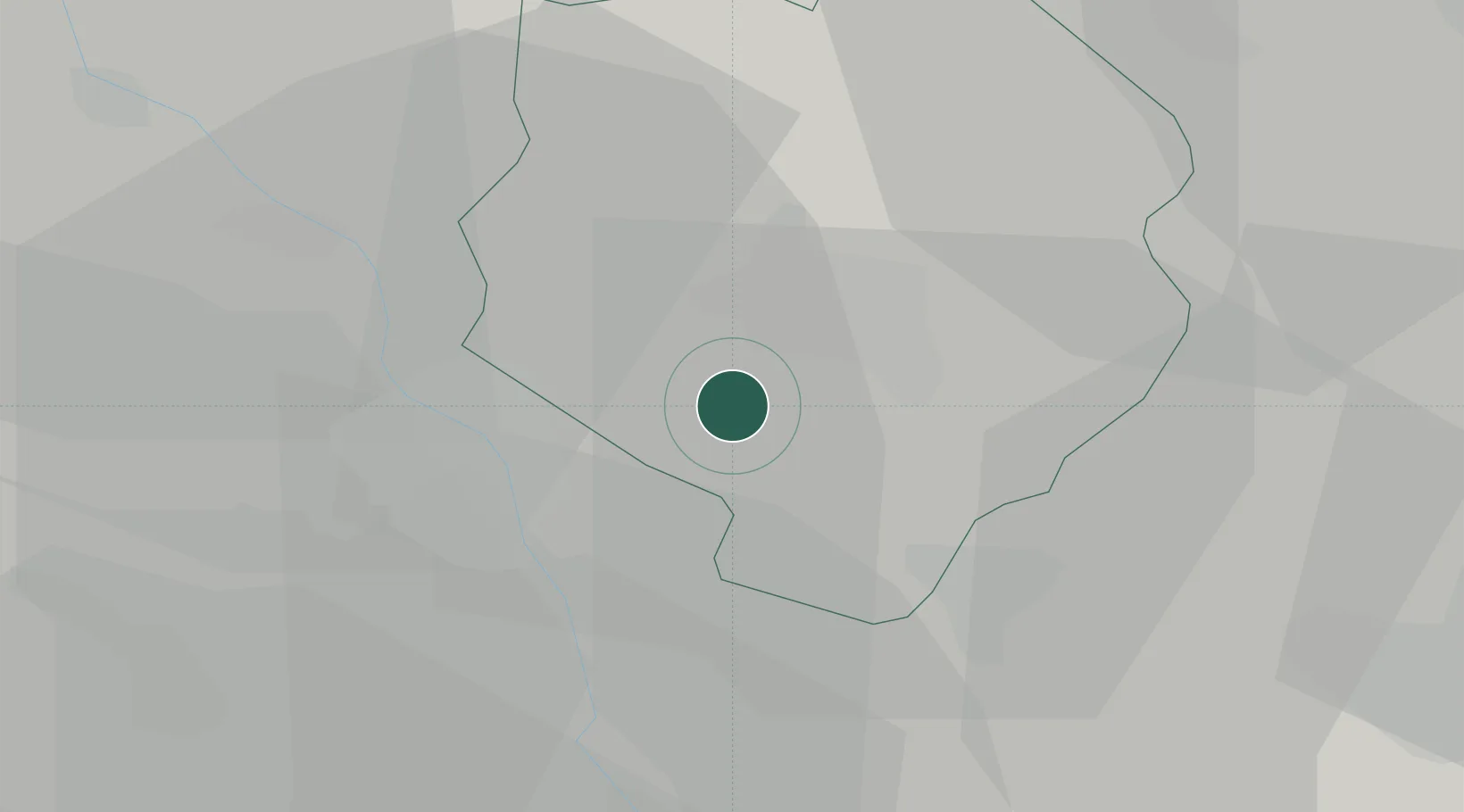
Hub Profile
Place type
District seat
Region
Piedmont
Population
755
Time zone
Europe/Rome
Elevation
307 m
Location
Nearby Logistics Neighbours
Cities
- 1Benna7 km
- 2Pollone8 km
- 3Azeglio10 km
- 4Chiaverano10 km
- 5San Bernardo di Ivrea12 km
Ports
- 1Savona137 km
- 2Genova141 km
- 3Rada Di Vado141 km
- 4Chiavari - Lavagna167 km
- 5Imperia180 km
Airports
- 1Biella-Cerrione Airfield5 km
- 2Turin Airport45 km
- 3Cameri Air Base50 km
- 4Milan Malpensa International Airport56 km
- 5Torino-Aeritalia Airport57 km
Trade Zones
- 1Magazzini Generali Con Chiasso81 km
- 2Aosta Valley98 km
- 3Port Franc Vevey156 km
- 4Geneva Freeport, La Praille, Geneva166 km
- 5Port Franc de Geneve169 km
DatabookThe Record of Consolidated Knowledge
Italy beyond logistics?