Transport Functions
Road
Multimodal
Hub Profile
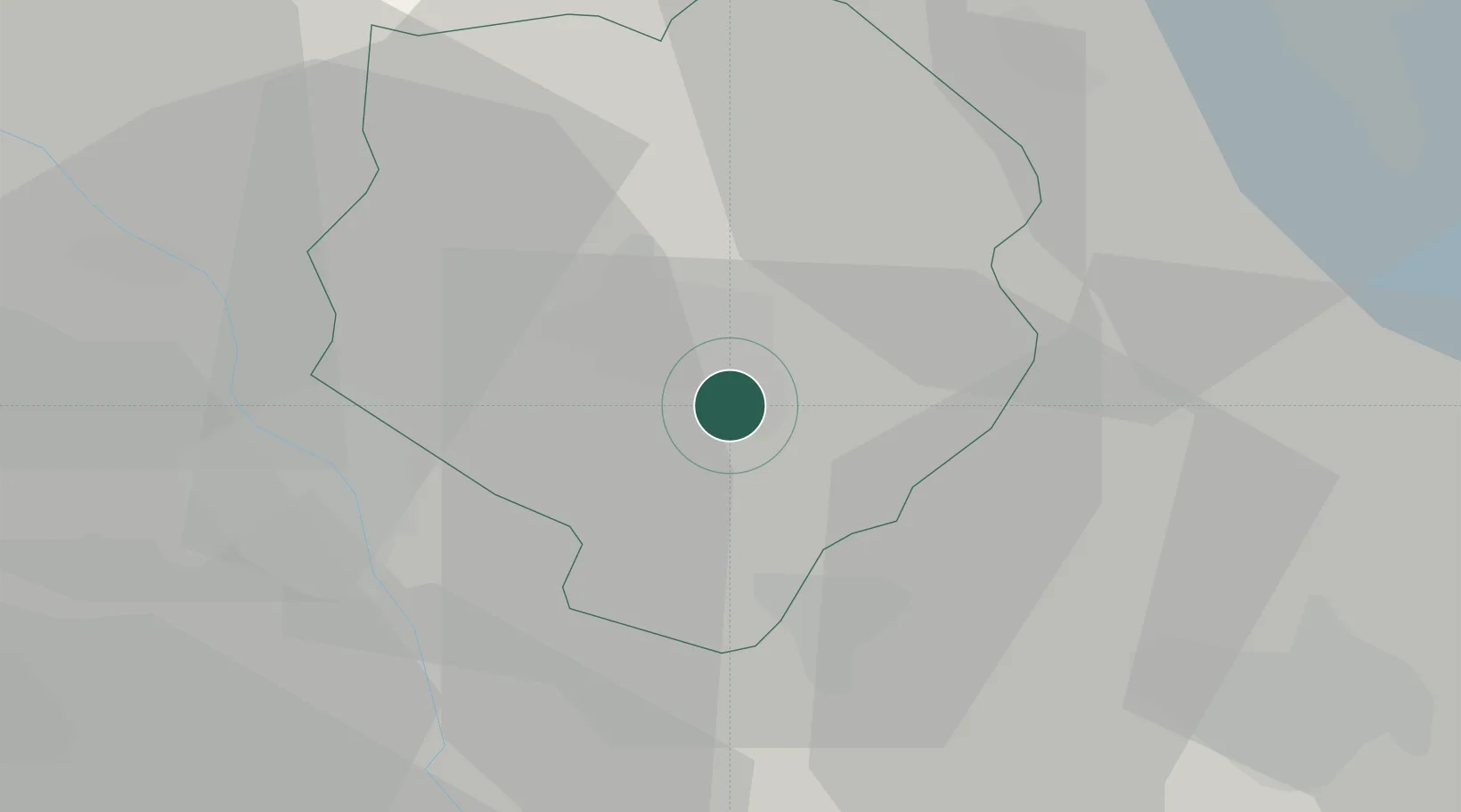
Place type
District seat
Region
Piedmont
Population
1,156
Time zone
Europe/Rome
Elevation
277 m
Location
Nearby Logistics Neighbours
Ports
- 1Savona137 km
- 2Genova140 km
- 3Rada Di Vado142 km
- 4Chiavari - Lavagna165 km
- 5Imperia182 km
Airports
- 1Biella-Cerrione Airfield3 km
- 2Cameri Air Base43 km
- 3Milan Malpensa International Airport49 km
- 4Turin Airport51 km
- 5Torino-Aeritalia Airport63 km
Trade Zones
- 1Magazzini Generali Con Chiasso74 km
- 2Aosta Valley104 km
- 3Port Franc Vevey160 km
- 4Geneva Freeport, La Praille, Geneva171 km
- 5Port Franc de Geneve174 km
DatabookThe Record of Consolidated Knowledge
Italy beyond logistics?