UN/LOCODE hub · Italy
ITSGG

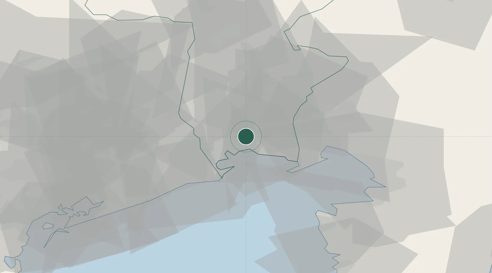
San Giórgio di Nogaro

45.8333°, 13.2000°
6,219
Population
2
Transport functions

Transport Functions

Rail
Road
UN/LOCODE

Hub Profile

Place type
District seat
GeoNames
Region
Friuli Venezia Giulia
GeoNames
Population
6,219
GeoNames
Time zone
Europe/Rome
GeoNames
Elevation
7 m
GeoNames

Location

Location of ITSGG
Natural Earth 10m (public domain) · Friuli Venezia Giulia · ITSGG · 45.83, 13.20GoogleOSMYandex

Nearby Logistics Neighbours

Cities
  1. 1Torviscosa6 km
  2. 2Marano Lagunare8 km
  3. 3Pocenia8 km
  4. 4Lignano Sabbiadoro15 km
  5. 5Villa Vicentina16 km
Nearest neighbours — logibook spatial index (haversine) over the source coordinates
Ports
  1. 1Nogaro9 km
  2. 2Grado17 km
  3. 3Monfalcone28 km
  4. 4Piran44 km
  5. 5Trieste47 km
Nearest neighbours — logibook spatial index (haversine) over the source coordinates
Airports
  1. 1Udine-Rivolto Air Base20 km
  2. 2Trieste Airport21 km
  3. 3Portorož Airport52 km
  4. 4Aviano Air Base52 km
  5. 5Venice Marco Polo Airport75 km
Nearest neighbours — logibook spatial index (haversine) over the source coordinates
Trade Zones
  1. 1Free Port of Trieste48 km
  2. 2Free Port of Venice82 km
  3. 3Port of Rijeka Free Zone109 km
  4. 4Consorzio Zona Industriale e Porto Fluviale di Padova111 km
  5. 5Free Zone Kukuljanovo116 km
Nearest neighbours — logibook spatial index (haversine) over the source coordinates
DatabookThe Record of Consolidated Knowledge
Italy beyond logistics?
Browse databook

All Sources

LocationsUN/LOCODE
UN/LOCODE — free
LocationsGeoNames
CC BY 4.0
Portsthe NGA World Port Index
Public domain (US gov)
AirportsOurAirports
Public domain
Trade Zonesthe World Bank SEZ database
CC BY 4.0
Trade ZonesOpen Zone Map
CC BY
← Italy locations