Transport Functions
Rail
Road
Multimodal
Hub Profile
Place type
District seat
Region
Friuli Venezia Giulia
Population
1,270
Time zone
Europe/Rome
Elevation
8 m
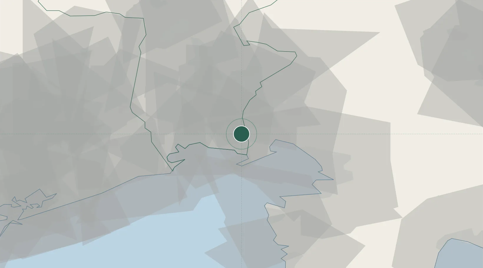
Location
Nearby Logistics Neighbours
Cities
- 1Turriaco3 km
- 2Campolongo Tapogliano7 km
- 3Ronchi dei Legionari9 km
- 4Mariano del Friuli10 km
- 5Torviscosa10 km
Ports
- 1Monfalcone12 km
- 2Grado16 km
- 3Nogaro19 km
- 4Trieste33 km
- 5Piran34 km
Airports
- 1Trieste Airport6 km
- 2Udine-Rivolto Air Base33 km
- 3Portorož Airport42 km
- 4Aviano Air Base67 km
- 5Venice Marco Polo Airport89 km
Trade Zones
- 1Free Port of Trieste33 km
- 2Free Port of Venice95 km
- 3Port of Rijeka Free Zone96 km
- 4Free Zone Kukuljanovo102 km
- 5Port of Pula Free Zone111 km
DatabookThe Record of Consolidated Knowledge
Italy beyond logistics?