Transport Functions
Port
Road
Hub Profile
Place type
District seat
Region
Friuli Venezia Giulia
Population
1,934
Time zone
Europe/Rome
Elevation
2 m
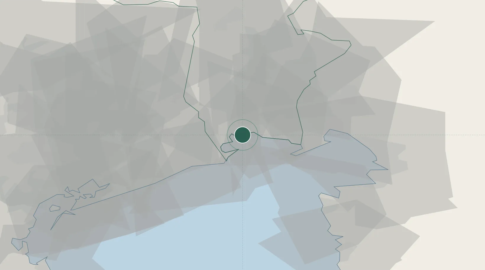
Location
Nearby Logistics Neighbours
Cities
- 1Lignano Sabbiadoro8 km
- 2San Giórgio di Nogaro8 km
- 3Torviscosa10 km
- 4Pocenia11 km
- 5Pertegada12 km
Ports
- 1Nogaro1 km
- 2Grado13 km
- 3Monfalcone30 km
- 4Piran41 km
- 5Umag46 km
Airports
- 1Trieste Airport25 km
- 2Udine-Rivolto Air Base25 km
- 3Portorož Airport48 km
- 4Aviano Air Base53 km
- 5Venice Marco Polo Airport70 km
Trade Zones
DatabookThe Record of Consolidated Knowledge
Italy beyond logistics?