Transport Functions
Rail
Road
Hub Profile
Place type
District seat
Region
Veneto
Population
1,637
Time zone
Europe/Rome
Elevation
8 m
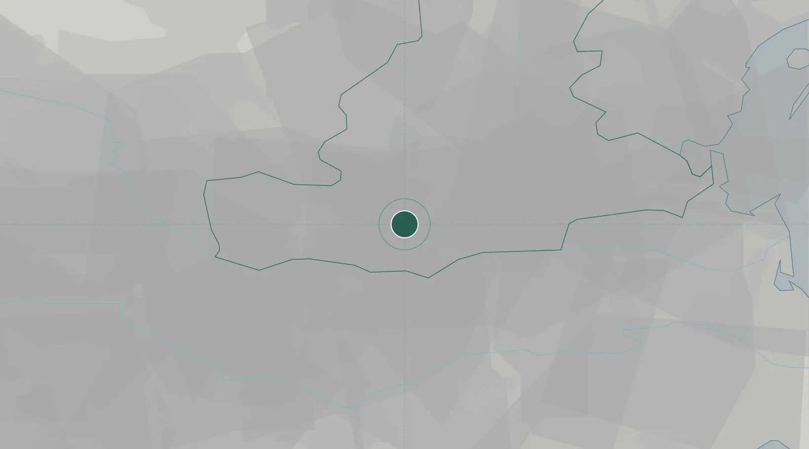
Location
Nearby Logistics Neighbours
Cities
- 1Villamarzana3 km
- 2Vighizzolo D Este7 km
- 3Ospedaletto Euganeo10 km
- 4Ponso11 km
- 5Battaglia Terme12 km
Ports
- 1Porto Di Chioggia46 km
- 2Porto Di Lido-Venezia62 km
- 3Porto Garibaldi70 km
- 4Porto Di Corsini89 km
- 5Cesenatico121 km
Airports
Trade Zones
DatabookThe Record of Consolidated Knowledge
Italy beyond logistics?