Transport Functions
Rail
Road
Hub Profile
Place type
Urban district
Region
Lombardy
Time zone
Europe/Rome
Elevation
115 m
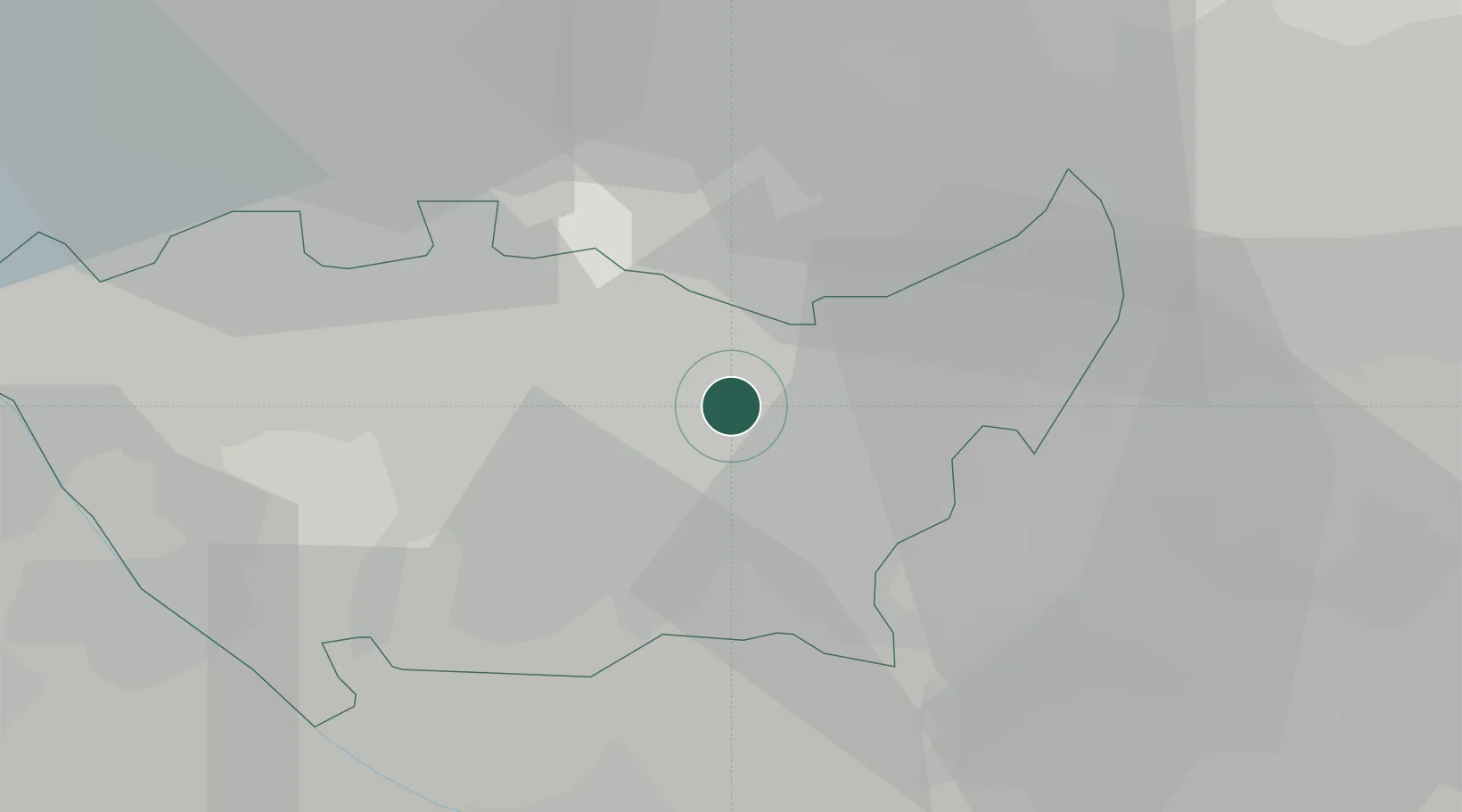
Location
Nearby Logistics Neighbours
Cities
- 1Pioltello4 km
- 2Cernusco sul Naviglio5 km
- 3San Donato Milanese7 km
- 4Cassina de'Pecchi9 km
- 5Bettolino9 km
Ports
- 1Genova124 km
- 2Chiavari - Lavagna131 km
- 3Savona143 km
- 4Rada Di Vado150 km
- 5La Spezia160 km
Airports
Trade Zones
- 1Magazzini Generali Con Chiasso47 km
- 2Livigno Free Trade Zone133 km
- 3Aosta Valley193 km
- 4Consorzio Zona Industriale e Porto Fluviale di Padova208 km
- 5Port Franc Vevey236 km
DatabookThe Record of Consolidated Knowledge
Italy beyond logistics?