Transport Functions
Rail
Road
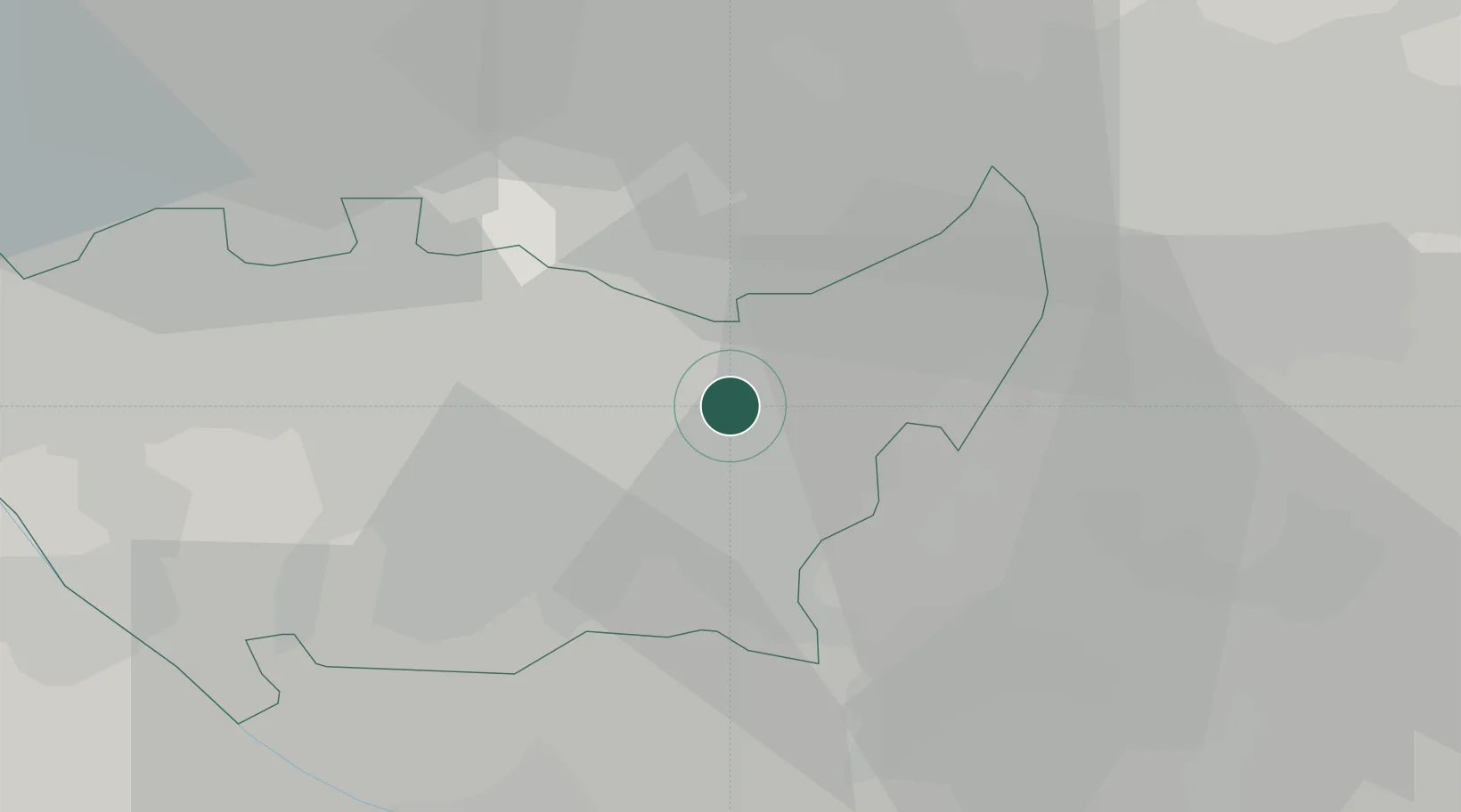
Hub Profile
Place type
District seat
Region
Lombardy
Population
34,203
Time zone
Europe/Rome
Elevation
122 m
Logistics facilities
2
Location
Nearby Logistics Neighbours
Cities
- 1Cernusco sul Naviglio4 km
- 2Redecesio4 km
- 3Cassina de'Pecchi6 km
- 4Bettolino7 km
- 5San Donato Milanese8 km
Ports
- 1Genova124 km
- 2Chiavari - Lavagna131 km
- 3Savona145 km
- 4Rada Di Vado152 km
- 5La Spezia159 km
Airports
Trade Zones
DatabookThe Record of Consolidated Knowledge
Italy beyond logistics?