UN/LOCODE hub · Italy
ITPZI
Pozzaglio ed Uniti
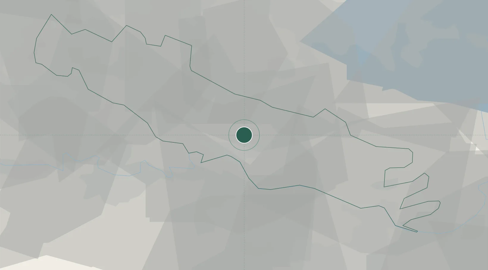
45.1833°, 10.0333°
1,202
Population
2
Transport functions
Transport Functions
Rail
Road
Hub Profile
Place type
District seat
Region
Lombardy
Population
1,202
Time zone
Europe/Rome
Elevation
49 m
Location
Nearby Logistics Neighbours
Cities
- 1Corte de Frati6 km
- 2Sesto Cremonese9 km
- 3Bonemerse10 km
- 4Casalbuttano10 km
- 5Seniga12 km
Ports
- 1Chiavari - Lavagna113 km
- 2La Spezia122 km
- 3Genova124 km
- 4Marina Di Carrara129 km
- 5Viareggio148 km
Airports
Trade Zones
- 1Magazzini Generali Con Chiasso112 km
- 2Consorzio Zona Industriale e Porto Fluviale di Padova150 km
- 3Livigno Free Trade Zone150 km
- 4Free Port of Venice180 km
- 5Aosta Valley259 km
DatabookThe Record of Consolidated Knowledge
Italy beyond logistics?