Transport Functions
Rail
Road
Hub Profile
Place type
District seat
Region
Apulia
Population
23,661
Time zone
Europe/Rome
Elevation
372 m
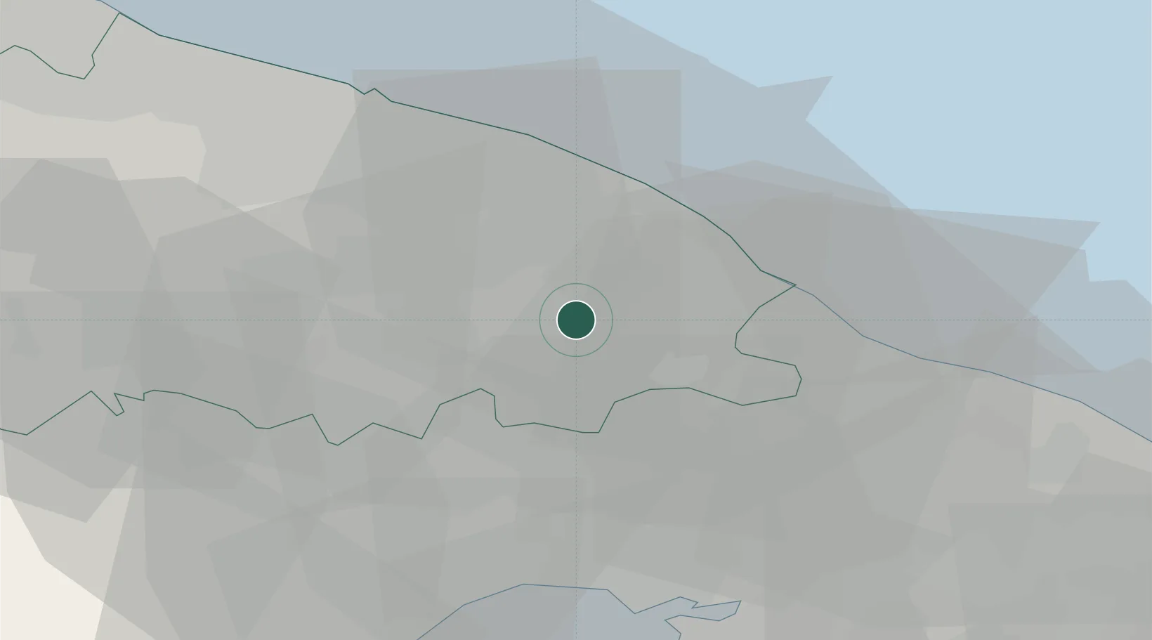
Location
Nearby Logistics Neighbours
Cities
- 1Castellana Grotte6 km
- 2Noci7 km
- 3Turi11 km
- 4Conversano13 km
- 5Alberobello15 km
Ports
- 1Monopoli20 km
- 2Mola Di Bari24 km
- 3Bari40 km
- 4Taranto43 km
- 5Molfetta60 km
Airports
DatabookThe Record of Consolidated Knowledge
Italy beyond logistics?