Transport Functions
Multimodal
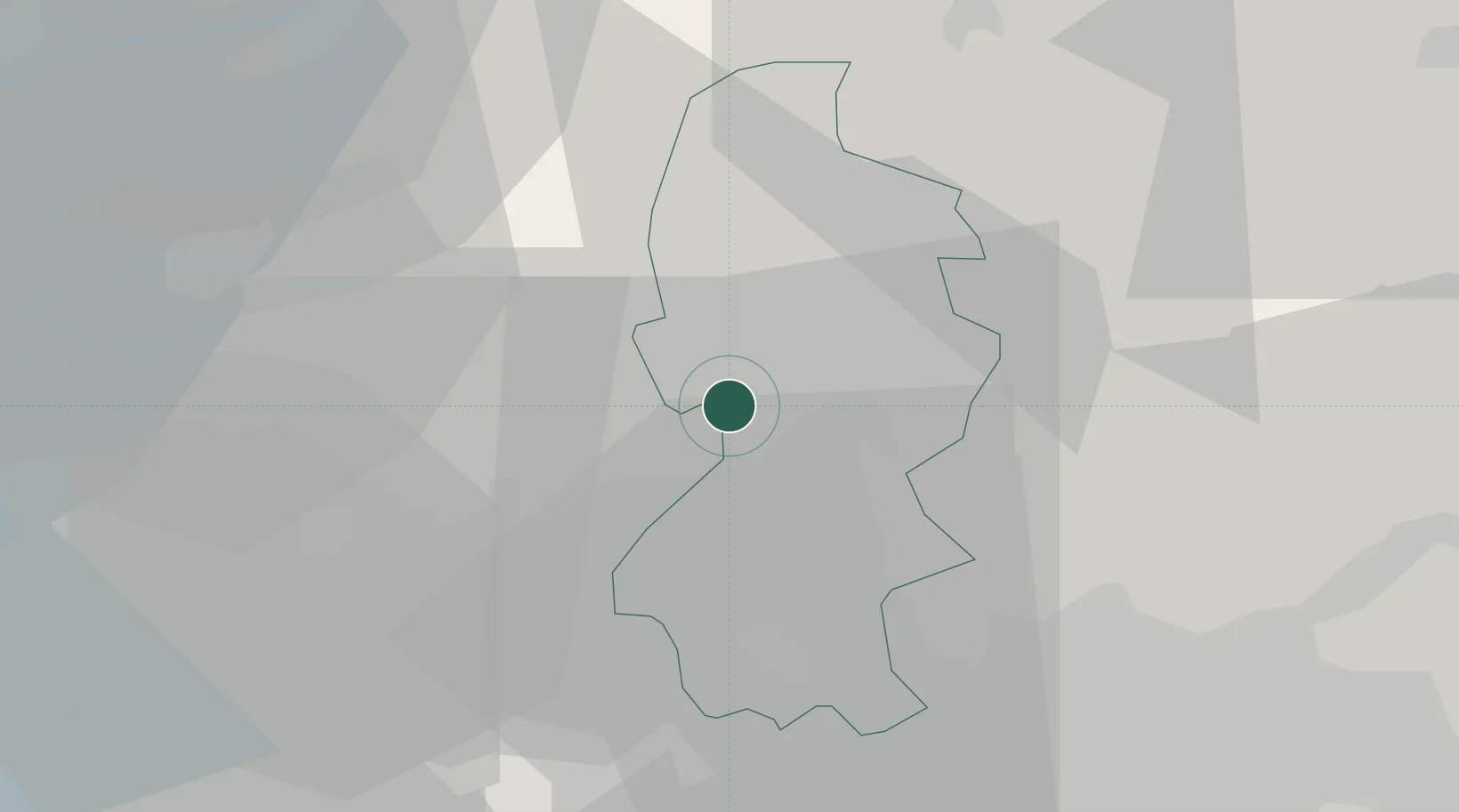
Hub Profile
Place type
District seat
Region
Lombardy
Population
2,610
Time zone
Europe/Rome
Elevation
204 m
Location
Nearby Logistics Neighbours
Cities
- 1Mandello del Lario1 km
- 2Civate7 km
- 3Lasnigo7 km
- 4Canzo8 km
- 5Introbio11 km
Ports
- 1Genova170 km
- 2Chiavari - Lavagna177 km
- 3Savona188 km
- 4Rada Di Vado195 km
- 5La Spezia204 km
Airports
Trade Zones
DatabookThe Record of Consolidated Knowledge
Italy beyond logistics?