UN/LOCODE hub · Italy
ITLDE
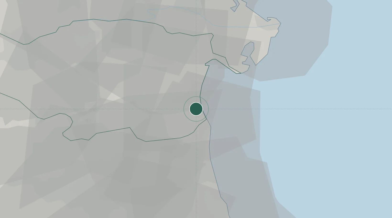
Lido degli Estensi
44.6667°, 12.2333°
1,644
Population
1
Transport functions
Transport Functions
Multimodal
Hub Profile
Place type
Populated place
Region
Emilia-Romagna
Population
1,644
Time zone
Europe/Rome
Elevation
1 m
Location
Nearby Logistics Neighbours
Cities
- 1Comacchio4 km
- 2Longastrino21 km
- 3Goro21 km
- 4Alfonsine24 km
- 5Ostellato26 km
Ports
- 1Porto Garibaldi2 km
- 2Porto Di Corsini20 km
- 3Cesenatico53 km
- 4Porto Di Chioggia63 km
- 5Rimini71 km
Airports
Trade Zones
DatabookThe Record of Consolidated Knowledge
Italy beyond logistics?