Transport Functions
Rail
Road
Hub Profile
Place type
Populated place
Region
Lombardy
Time zone
Europe/Rome
Elevation
257 m
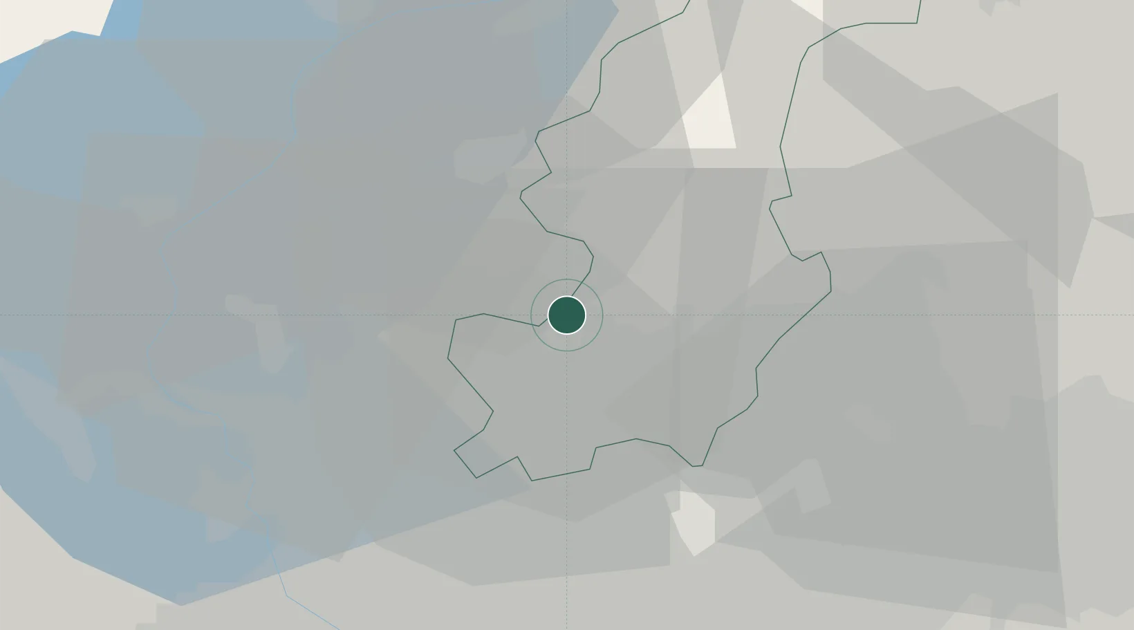
Location
Nearby Logistics Neighbours
Cities
- 1Cernobbio3 km
- 2Balerna3 km
- 3Ronago4 km
- 4Castel San Pietro5 km
- 5Gironico5 km
Ports
- 1Genova160 km
- 2Chiavari - Lavagna172 km
- 3Savona174 km
- 4Rada Di Vado180 km
- 5La Spezia203 km
Airports
- 1Varese-Venegono Airport15 km
- 2Lugano Airport21 km
- 3Milan Malpensa International Airport33 km
- 4Cameri Air Base44 km
- 5Milano Linate Airport47 km
Trade Zones
DatabookThe Record of Consolidated Knowledge
Italy beyond logistics?