Transport Functions
Multimodal
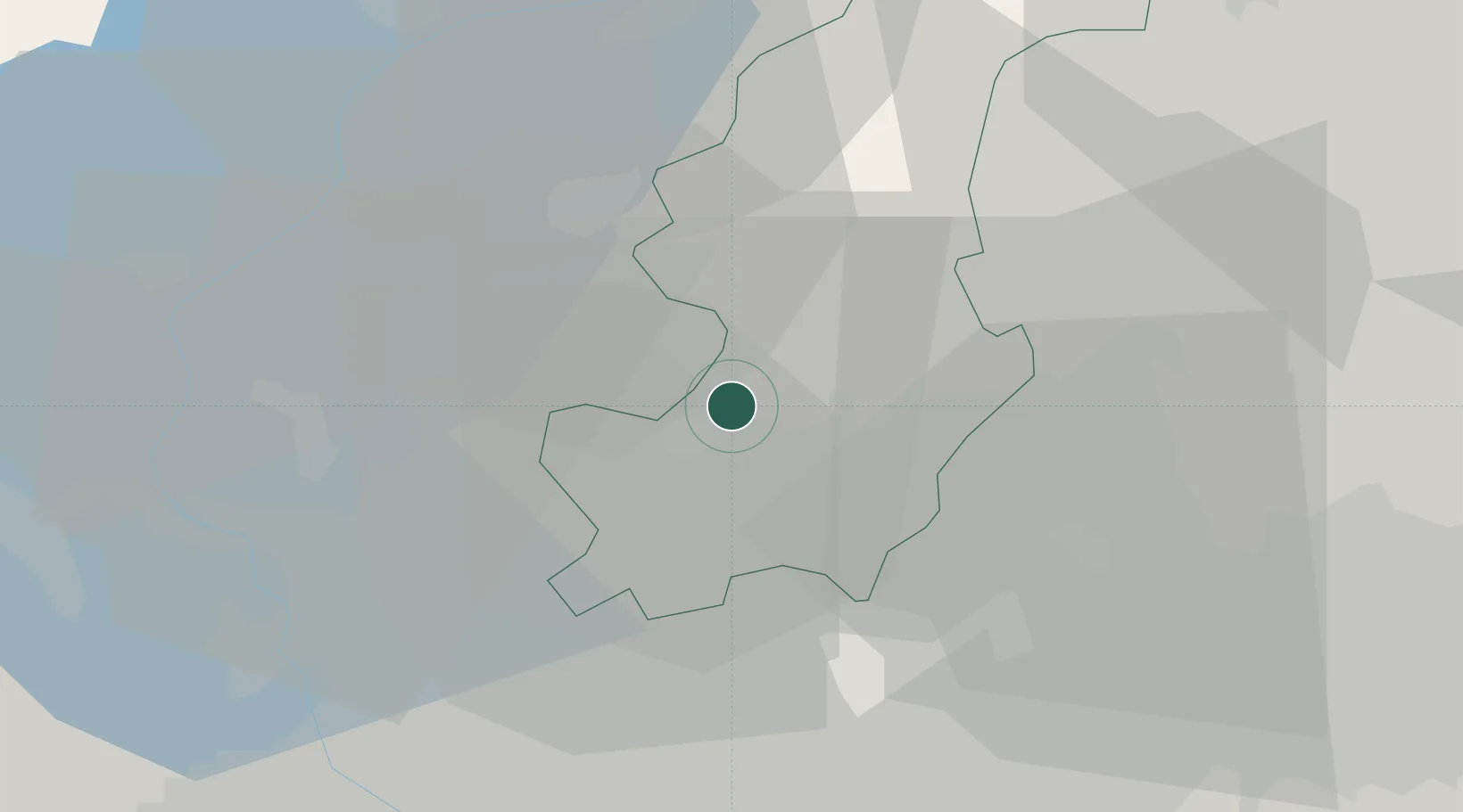
Hub Profile
Place type
District seat
Region
Lombardy
Population
6,790
Time zone
Europe/Rome
Elevation
201 m
Location
Nearby Logistics Neighbours
Cities
- 1Ponte Chiasso3 km
- 2Balerna6 km
- 3Camerlata6 km
- 4Castel San Pietro6 km
- 5Gironico6 km
Ports
- 1Genova160 km
- 2Chiavari - Lavagna171 km
- 3Savona174 km
- 4Rada Di Vado181 km
- 5La Spezia202 km
Airports
- 1Varese-Venegono Airport17 km
- 2Lugano Airport23 km
- 3Milan Malpensa International Airport35 km
- 4Cameri Air Base46 km
- 5Milano Linate Airport46 km
Trade Zones
DatabookThe Record of Consolidated Knowledge
Italy beyond logistics?