Transport Functions
Rail
Road
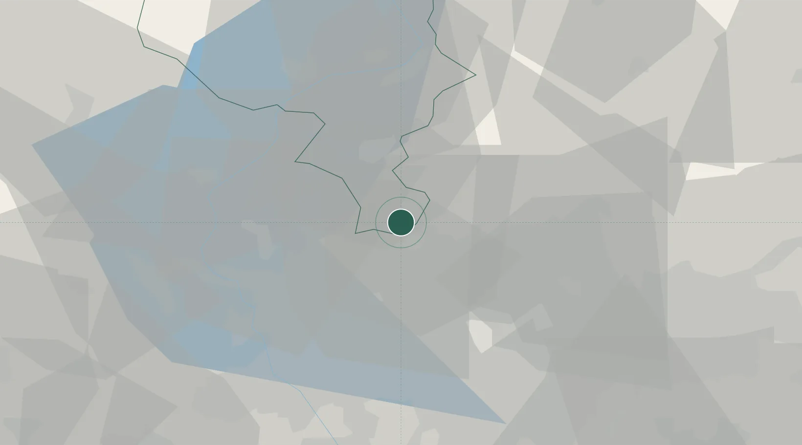
Hub Profile
Place type
Populated place
Region
Ticino
Population
3,456
Time zone
Europe/Zurich
Elevation
302 m
Location
Nearby Logistics Neighbours
Cities
- 1Castel San Pietro2 km
- 2Mendrisio2 km
- 3Ronago2 km
- 4Ponte Chiasso3 km
- 5Cernobbio6 km
Ports
- 1Genova162 km
- 2Chiavari - Lavagna174 km
- 3Savona175 km
- 4Rada Di Vado181 km
- 5La Spezia205 km
Airports
- 1Varese-Venegono Airport15 km
- 2Lugano Airport19 km
- 3Milan Malpensa International Airport32 km
- 4Cameri Air Base44 km
- 5Milano Linate Airport50 km
Trade Zones
DatabookThe Record of Consolidated Knowledge
Switzerland beyond logistics?