UN/LOCODE hub · Switzerland
CHPIE
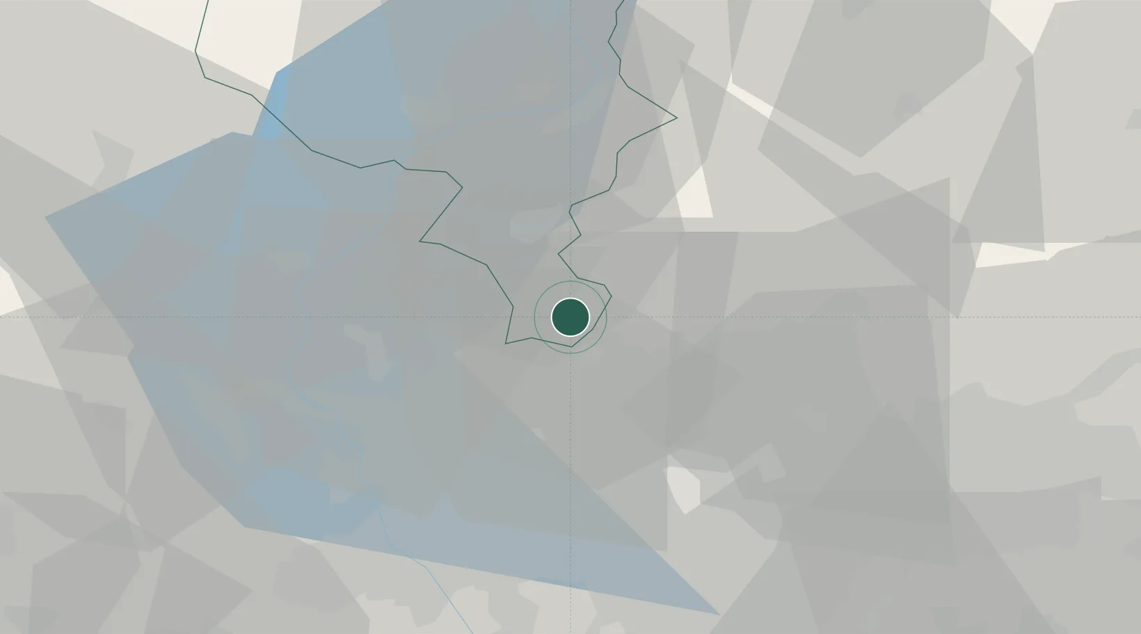
Castel San Pietro
45.8667°, 9.0000°
2,150
Population
2
Transport functions
Transport Functions
Road
Multimodal
Hub Profile
Place type
Populated place
Region
Ticino
Population
2,150
Time zone
Europe/Zurich
Elevation
451 m
Location
Nearby Logistics Neighbours
Cities
- 1Mendrisio1 km
- 2Balerna2 km
- 3Ronago4 km
- 4Ponte Chiasso5 km
- 5Cernobbio6 km
Ports
- 1Genova163 km
- 2Chiavari - Lavagna176 km
- 3Savona177 km
- 4Rada Di Vado183 km
- 5La Spezia207 km
Airports
- 1Varese-Venegono Airport16 km
- 2Lugano Airport17 km
- 3Milan Malpensa International Airport34 km
- 4Cameri Air Base45 km
- 5Milano Linate Airport52 km
Trade Zones
DatabookThe Record of Consolidated Knowledge
Switzerland beyond logistics?