Transport Functions
Rail
Road
Hub Profile
Place type
District seat
Region
Piedmont
Population
12,655
Time zone
Europe/Rome
Elevation
233 m
Logistics facilities
1
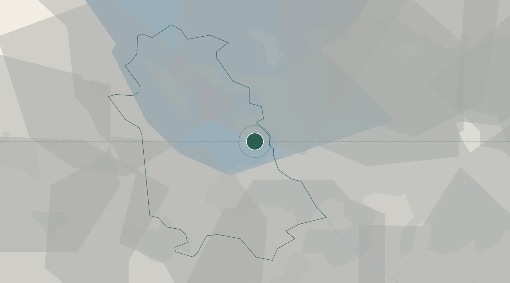
Location
Nearby Logistics Neighbours
Cities
- 1Mezzomerico6 km
- 2San Macario6 km
- 3Vaprio D'Agogna9 km
- 4Caltignaga10 km
- 5Casorate Sempione10 km
Ports
- 1Genova134 km
- 2Savona142 km
- 3Rada Di Vado148 km
- 4Chiavari - Lavagna152 km
- 5La Spezia190 km
Airports
- 1Cameri Air Base7 km
- 2Milan Malpensa International Airport7 km
- 3Varese-Venegono Airport25 km
- 4Biella-Cerrione Airfield45 km
- 5Lugano Airport50 km
Trade Zones
- 1Magazzini Generali Con Chiasso36 km
- 2Aosta Valley145 km
- 3Livigno Free Trade Zone153 km
- 4Port Franc Vevey189 km
- 5PESA - Port-Franc et Entrepôts de Lausanne-Chavornay SA204 km
DatabookThe Record of Consolidated Knowledge
Italy beyond logistics?