Transport Functions
Rail
Road
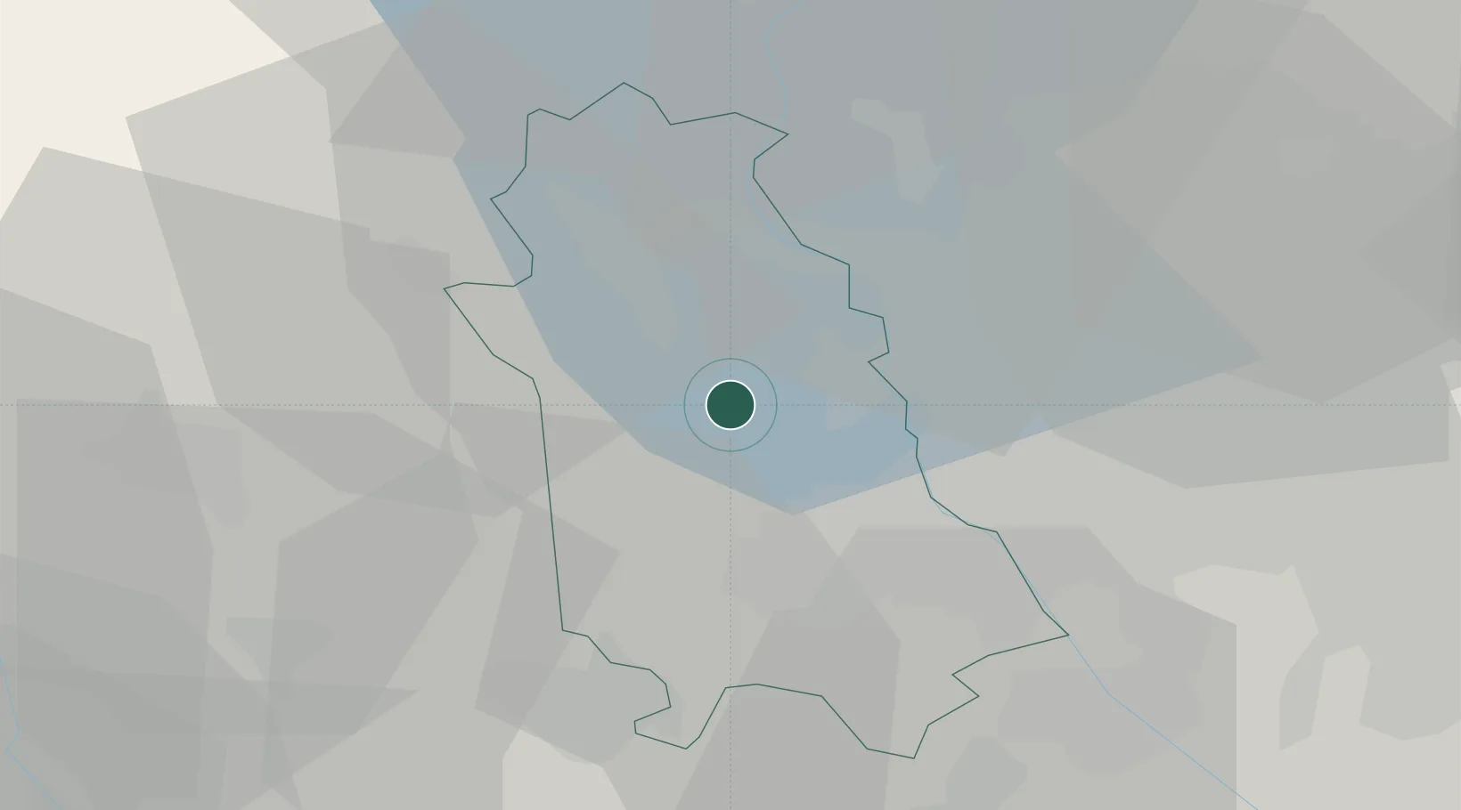
Hub Profile
Place type
District seat
Region
Piedmont
Population
901
Time zone
Europe/Rome
Elevation
234 m
Location
Nearby Logistics Neighbours
Cities
- 1Mezzomerico4 km
- 2Cressa7 km
- 3Oleggio9 km
- 4Caltignaga10 km
- 5Cureggio11 km
Ports
- 1Genova137 km
- 2Savona143 km
- 3Rada Di Vado149 km
- 4Chiavari - Lavagna156 km
- 5La Spezia195 km
Airports
- 1Cameri Air Base12 km
- 2Milan Malpensa International Airport14 km
- 3Varese-Venegono Airport31 km
- 4Biella-Cerrione Airfield37 km
- 5Lugano Airport53 km
Trade Zones
- 1Magazzini Generali Con Chiasso41 km
- 2Aosta Valley136 km
- 3Livigno Free Trade Zone158 km
- 4Port Franc Vevey181 km
- 5PESA - Port-Franc et Entrepôts de Lausanne-Chavornay SA197 km
DatabookThe Record of Consolidated Knowledge
Italy beyond logistics?