Transport Functions
Rail
Road
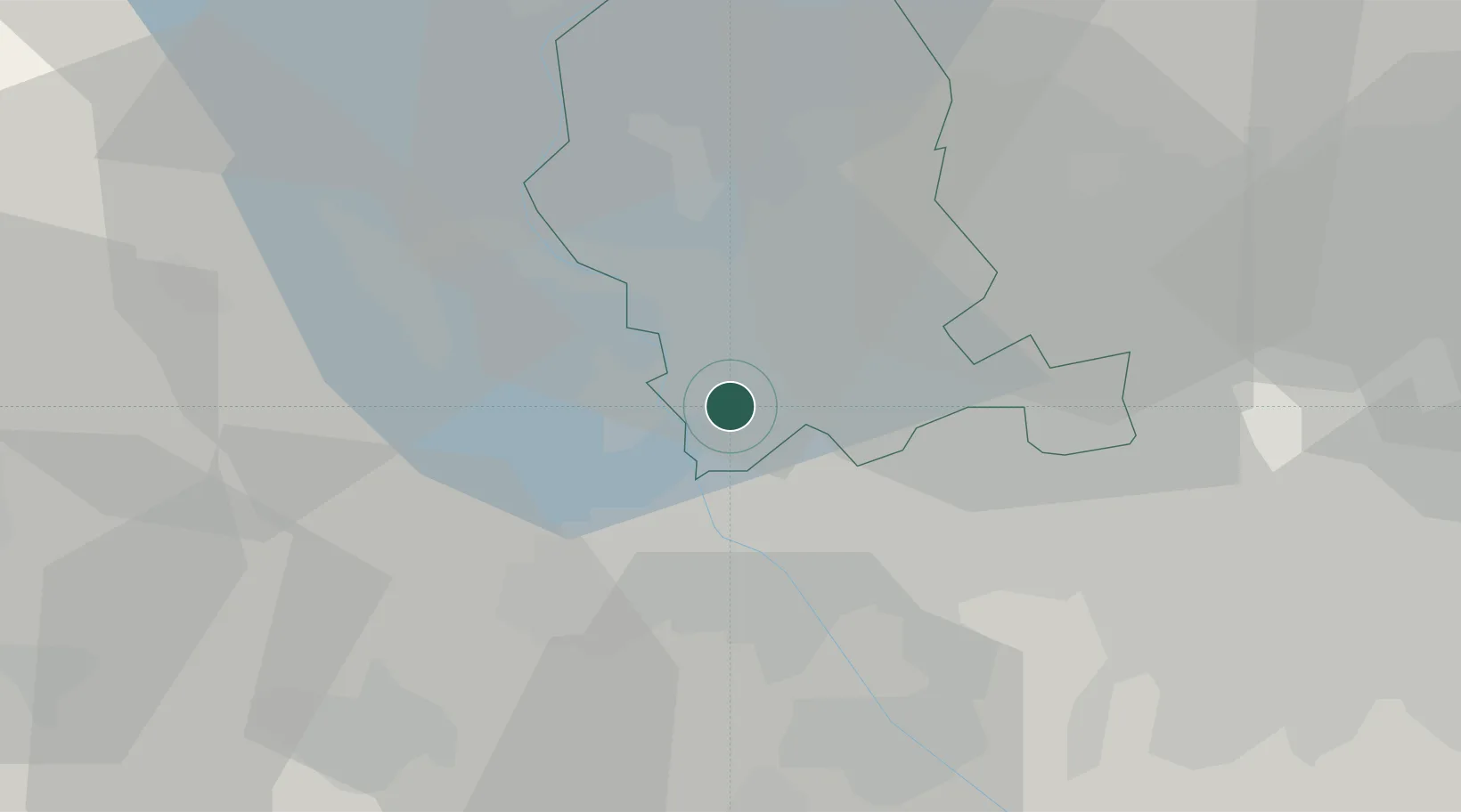
Hub Profile
Place type
Populated place
Region
Lombardy
Population
753
Time zone
Europe/Rome
Elevation
214 m
Location
Nearby Logistics Neighbours
Cities
- 1Samarate4 km
- 2Casorate Sempione6 km
- 3Oleggio6 km
- 4Magnago6 km
- 5Arsago Seprio8 km
Ports
- 1Genova136 km
- 2Savona146 km
- 3Rada Di Vado152 km
- 4Chiavari - Lavagna153 km
- 5La Spezia190 km
Airports
- 1Milan Malpensa International Airport2 km
- 2Cameri Air Base11 km
- 3Varese-Venegono Airport18 km
- 4Lugano Airport45 km
- 5Milano Linate Airport46 km
Trade Zones
- 1Magazzini Generali Con Chiasso30 km
- 2Livigno Free Trade Zone147 km
- 3Aosta Valley150 km
- 4Port Franc Vevey192 km
- 5PESA - Port-Franc et Entrepôts de Lausanne-Chavornay SA207 km
DatabookThe Record of Consolidated Knowledge
Italy beyond logistics?