Transport Functions
Rail
Road
Hub Profile
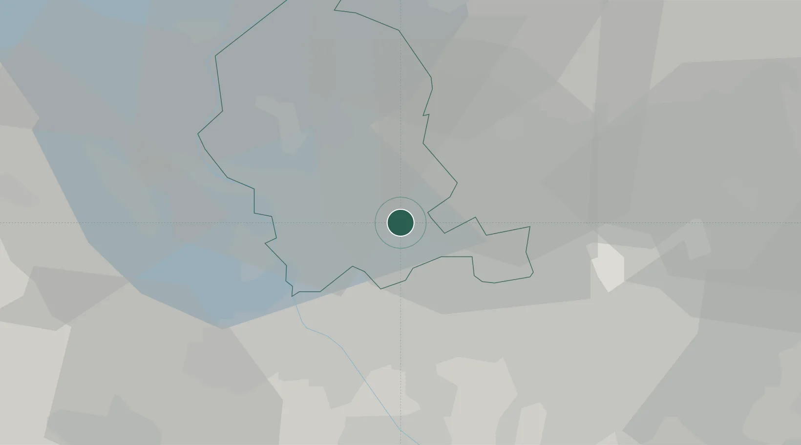
Region
VA
Location
Nearby Logistics Neighbours
Cities
- 1Locate Varesino4 km
- 2Busto Arsizio4 km
- 3Carbonate6 km
- 4Torba6 km
- 5Cavaria con Premezzo7 km
Ports
- 1Genova141 km
- 2Savona153 km
- 3Chiavari - Lavagna156 km
- 4Rada Di Vado159 km
- 5La Spezia190 km
Airports
- 1Varese-Venegono Airport9 km
- 2Milan Malpensa International Airport12 km
- 3Cameri Air Base22 km
- 4Lugano Airport38 km
- 5Milano Linate Airport40 km
Trade Zones
- 1Magazzini Generali Con Chiasso21 km
- 2Livigno Free Trade Zone135 km
- 3Aosta Valley160 km
- 4Port Franc Vevey199 km
- 5PESA - Port-Franc et Entrepôts de Lausanne-Chavornay SA212 km
DatabookThe Record of Consolidated Knowledge
Italy beyond logistics?