Transport Functions
Rail
Road
Hub Profile
Place type
Populated place
Region
Lombardy
Time zone
Europe/Rome
Elevation
346 m
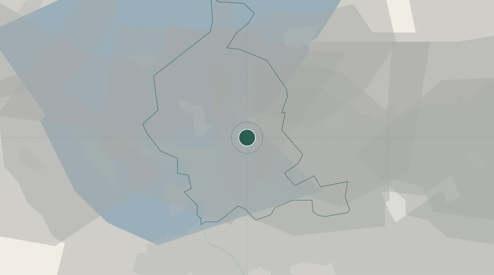
Location
Nearby Logistics Neighbours
Cities
- 1Azzate2 km
- 2Buguggiate2 km
- 3Vedano Olona5 km
- 4Bodio Lomnago6 km
- 5Masnago6 km
Ports
- 1Genova152 km
- 2Savona163 km
- 3Chiavari - Lavagna167 km
- 4Rada Di Vado169 km
- 5La Spezia202 km
Airports
- 1Varese-Venegono Airport6 km
- 2Milan Malpensa International Airport17 km
- 3Lugano Airport27 km
- 4Cameri Air Base29 km
- 5Milano Linate Airport51 km
Trade Zones
- 1Magazzini Generali Con Chiasso13 km
- 2Livigno Free Trade Zone130 km
- 3Aosta Valley156 km
- 4Port Franc Vevey190 km
- 5PESA - Port-Franc et Entrepôts de Lausanne-Chavornay SA203 km
DatabookThe Record of Consolidated Knowledge
Italy beyond logistics?