Transport Functions
Multimodal
Hub Profile
Place type
Populated place
Region
Friuli Venezia Giulia
Population
1,899
Time zone
Europe/Rome
Elevation
3 m
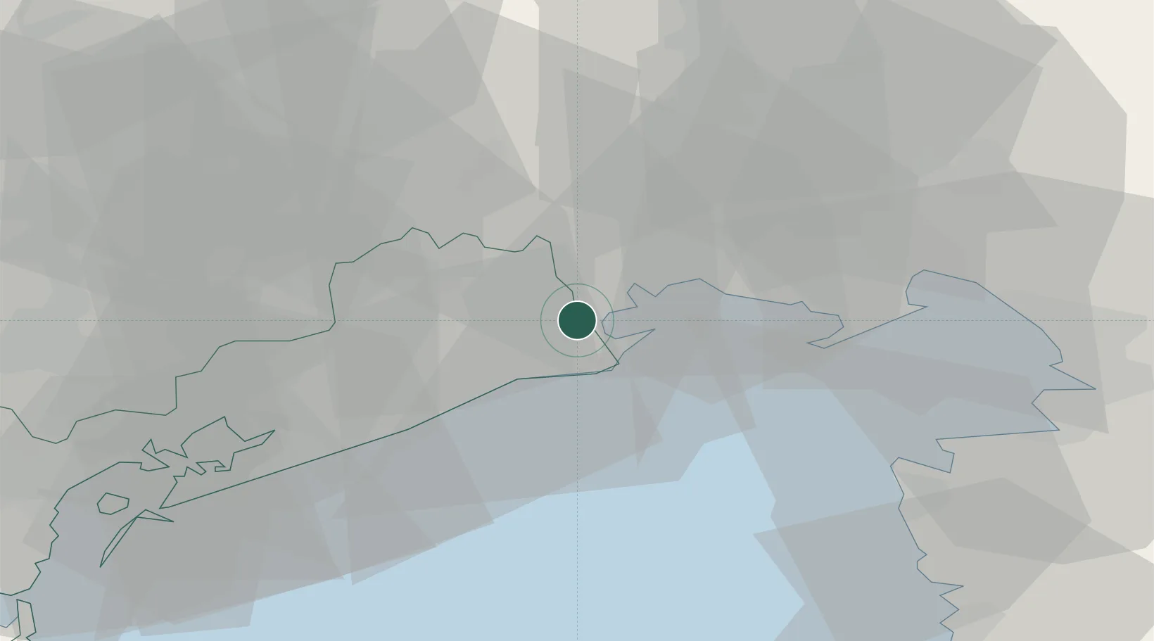
Location
Nearby Logistics Neighbours
Cities
- 1Lignano Sabbiadoro9 km
- 2Marano Lagunare12 km
- 3Fossalta di Portogruaro14 km
- 4Pocenia16 km
- 5Morsano al Tagliamento17 km
Ports
- 1Nogaro11 km
- 2Grado21 km
- 3Monfalcone41 km
- 4Piran46 km
- 5Umag49 km
Airports
- 1Udine-Rivolto Air Base29 km
- 2Trieste Airport36 km
- 3Aviano Air Base49 km
- 4Portorož Airport53 km
- 5Venice Marco Polo Airport58 km
Trade Zones
DatabookThe Record of Consolidated Knowledge
Italy beyond logistics?