Transport Functions
Road
Multimodal
Hub Profile
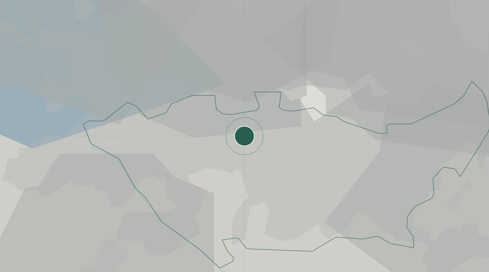
Place type
Populated place
Region
Lombardy
Population
2,682
Time zone
Europe/Rome
Elevation
164 m
Location
Nearby Logistics Neighbours
Cities
- 1Mazzo3 km
- 2Pogliano Milanese4 km
- 3Ospiate5 km
- 4San Vittore Olona10 km
- 5Santo Stefano Ticino11 km
Ports
- 1Genova127 km
- 2Chiavari - Lavagna139 km
- 3Savona142 km
- 4Rada Di Vado148 km
- 5La Spezia171 km
Airports
- 1Milano Linate Airport21 km
- 2Varese-Venegono Airport26 km
- 3Milan Malpensa International Airport26 km
- 4Cameri Air Base28 km
- 5Lugano Airport53 km
Trade Zones
- 1Magazzini Generali Con Chiasso35 km
- 2Livigno Free Trade Zone138 km
- 3Aosta Valley174 km
- 4Port Franc Vevey217 km
- 5Consorzio Zona Industriale e Porto Fluviale di Padova226 km
DatabookThe Record of Consolidated Knowledge
Italy beyond logistics?