UN/LOCODE hub · Italy
ITSFC
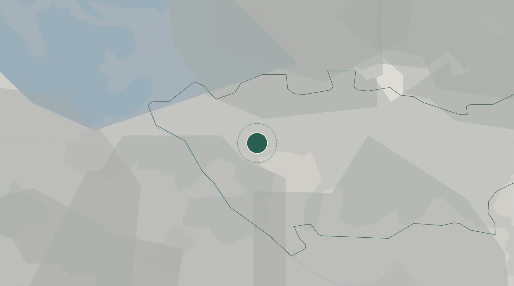
Santo Stefano Ticino
45.4833°, 8.9167°
4,667
Population
3
Transport functions
Transport Functions
Rail
Road
Multimodal
Hub Profile
Place type
District seat
Region
Lombardy
Population
4,667
Time zone
Europe/Rome
Elevation
152 m
Location
Nearby Logistics Neighbours
Cities
- 1Pogliano Milanese8 km
- 2Cuggiono9 km
- 3Passirana11 km
- 4San Vittore Olona11 km
- 5Bienate12 km
Ports
- 1Genova121 km
- 2Savona134 km
- 3Chiavari - Lavagna135 km
- 4Rada Di Vado140 km
- 5La Spezia170 km
Airports
- 1Cameri Air Base20 km
- 2Milan Malpensa International Airport22 km
- 3Milano Linate Airport28 km
- 4Varese-Venegono Airport29 km
- 5Lugano Airport58 km
Trade Zones
- 1Magazzini Generali Con Chiasso40 km
- 2Livigno Free Trade Zone148 km
- 3Aosta Valley166 km
- 4Port Franc Vevey212 km
- 5PESA - Port-Franc et Entrepôts de Lausanne-Chavornay SA227 km
DatabookThe Record of Consolidated Knowledge
Italy beyond logistics?