Transport Functions
Rail
Road
Hub Profile
Place type
District seat
Region
Lombardy
Population
8,057
Time zone
Europe/Rome
Elevation
164 m
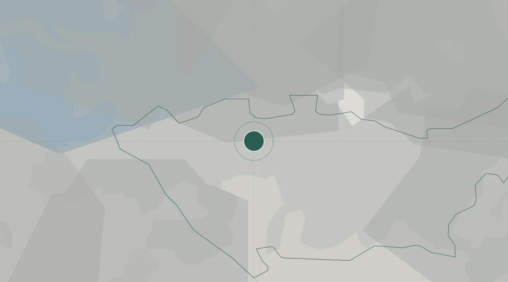
Location
Nearby Logistics Neighbours
Cities
- 1Passirana4 km
- 2Mazzo7 km
- 3San Vittore Olona7 km
- 4Santo Stefano Ticino8 km
- 5Ospiate9 km
Ports
- 1Genova126 km
- 2Chiavari - Lavagna139 km
- 3Savona141 km
- 4Rada Di Vado147 km
- 5La Spezia173 km
Airports
- 1Milan Malpensa International Airport23 km
- 2Varese-Venegono Airport24 km
- 3Cameri Air Base25 km
- 4Milano Linate Airport25 km
- 5Lugano Airport53 km
Trade Zones
- 1Magazzini Generali Con Chiasso35 km
- 2Livigno Free Trade Zone141 km
- 3Aosta Valley170 km
- 4Port Franc Vevey214 km
- 5PESA - Port-Franc et Entrepôts de Lausanne-Chavornay SA228 km
DatabookThe Record of Consolidated Knowledge
Italy beyond logistics?