Transport Functions
Multimodal
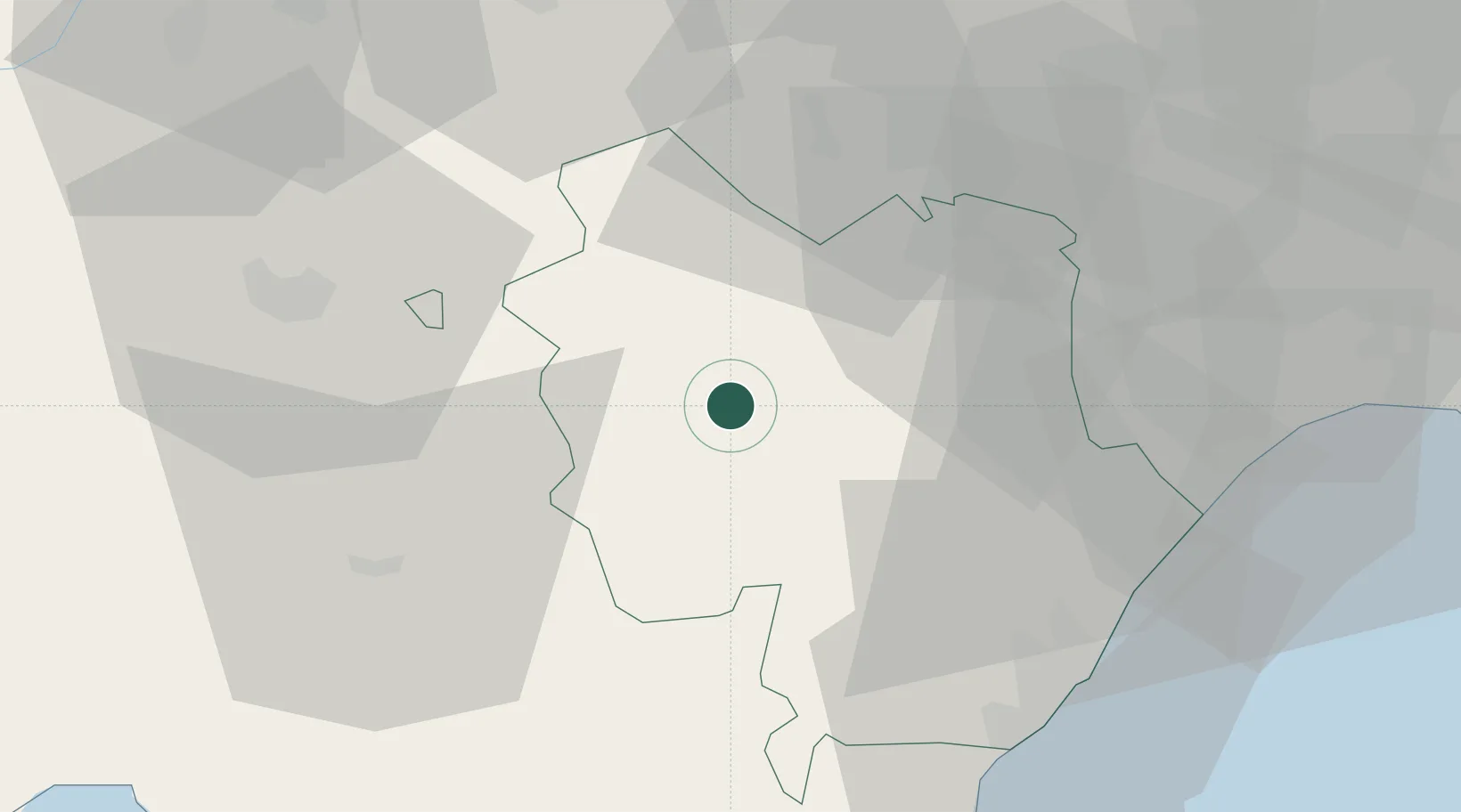
Hub Profile
Place type
District seat
Region
Basilicate
Population
2,598
Time zone
Europe/Rome
Elevation
552 m
Location
Nearby Logistics Neighbours
Cities
- 1Ferrandina12 km
- 2Pisticci25 km
- 3Montalbano Jonico34 km
- 4Gravina In Puglia34 km
- 5Roccanova35 km
Airports
DatabookThe Record of Consolidated Knowledge
Italy beyond logistics?