Transport Functions
Multimodal
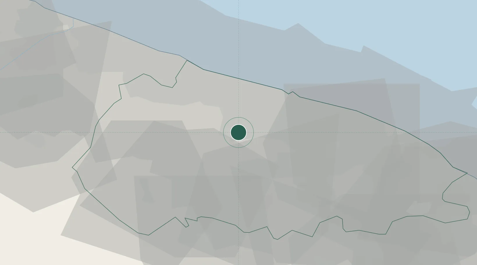
Hub Profile
Place type
District seat
Region
Apulia
Population
2,080
Time zone
Europe/Rome
Elevation
179 m
Location
Nearby Logistics Neighbours
Cities
- 1Palo del Colle4 km
- 2Sannicandro di Bari9 km
- 3Ceglie del Campo15 km
- 4Valenzano16 km
- 5Bari16 km
Ports
- 1Bari19 km
- 2Molfetta24 km
- 3Bisceglie30 km
- 4Mola Di Bari34 km
- 5Trani38 km
Airports
DatabookThe Record of Consolidated Knowledge
Italy beyond logistics?