Transport Functions
Multimodal
Hub Profile
Place type
Populated place
Region
Veneto
Time zone
Europe/Rome
Elevation
20 m
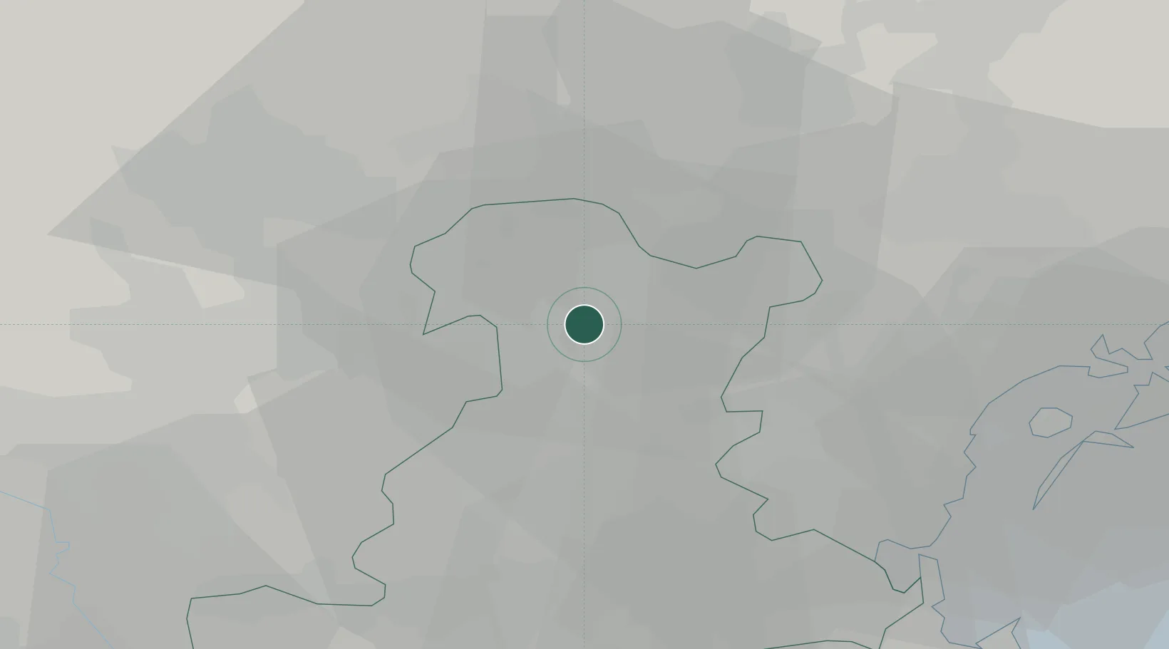
Location
Nearby Logistics Neighbours
Cities
- 1Piazzola sul Brenta4 km
- 2San Giorgio delle Pertiche6 km
- 3Fontaniva11 km
- 4Vigodarzere13 km
- 5Piombino Dese14 km
Ports
- 1Porto Di Lido-Venezia49 km
- 2Porto Di Chioggia51 km
- 3Porto Garibaldi103 km
- 4Nogaro106 km
- 5Grado115 km
Airports
Trade Zones
DatabookThe Record of Consolidated Knowledge
Italy beyond logistics?