Transport Functions
Road
Multimodal
Hub Profile
Place type
Populated place
Region
Veneto
Time zone
Europe/Rome
Elevation
64 m
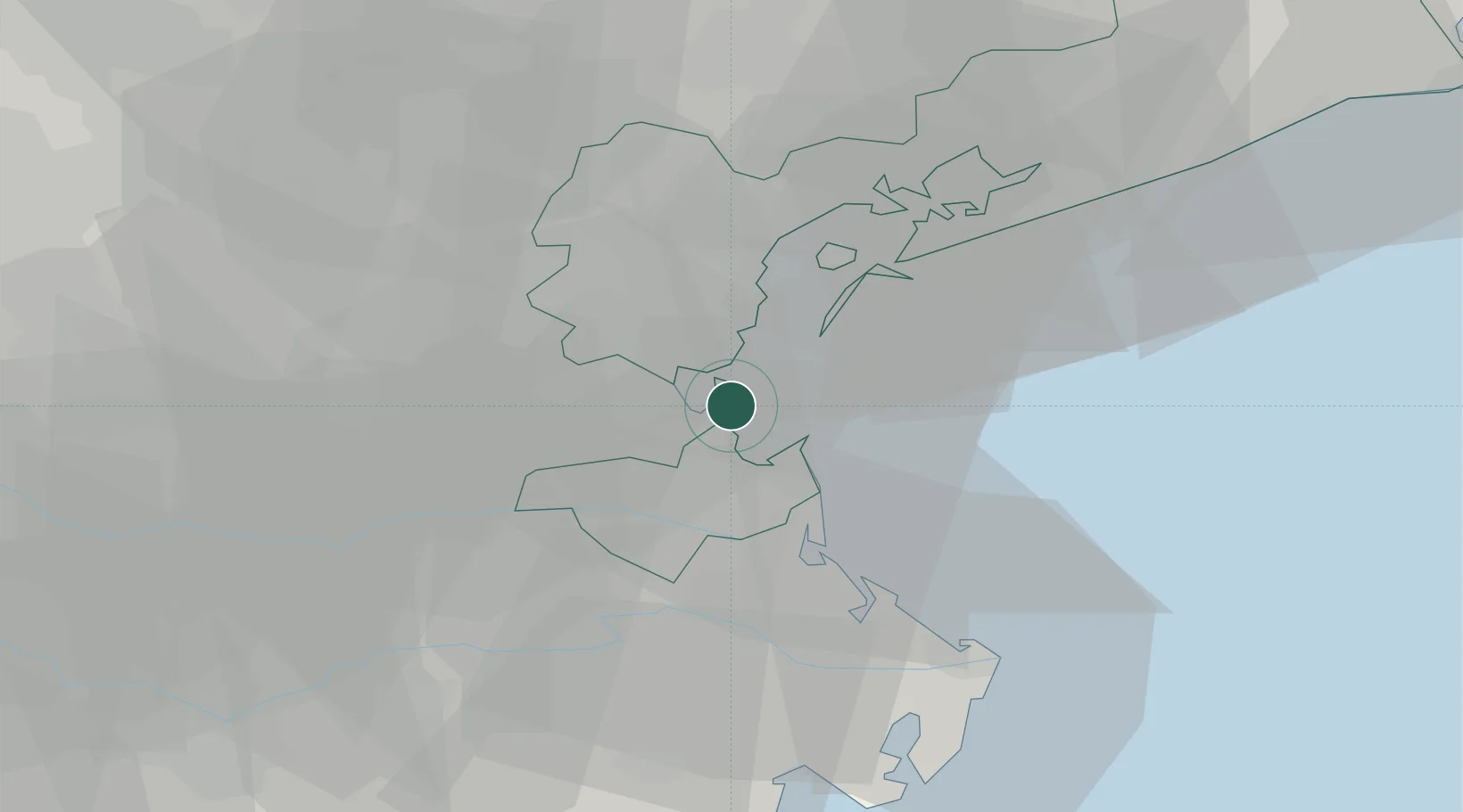
Location
Nearby Logistics Neighbours
Cities
- 1Chioggia6 km
- 2Piove di Sacco15 km
- 3Pontelongo15 km
- 4Fusina17 km
- 5Gambarare18 km
Ports
- 1Porto Di Chioggia8 km
- 2Porto Di Lido-Venezia24 km
- 3Porto Garibaldi66 km
- 4Porto Di Corsini86 km
- 5Nogaro92 km
Airports
- 1Venice Marco Polo Airport29 km
- 2Padova Gino Allegri Airfield32 km
- 3Treviso Airport43 km
- 4Istrana Air Base48 km
- 5Aviano Air Base90 km
Trade Zones
DatabookThe Record of Consolidated Knowledge
Italy beyond logistics?