Transport Functions
Rail
Road
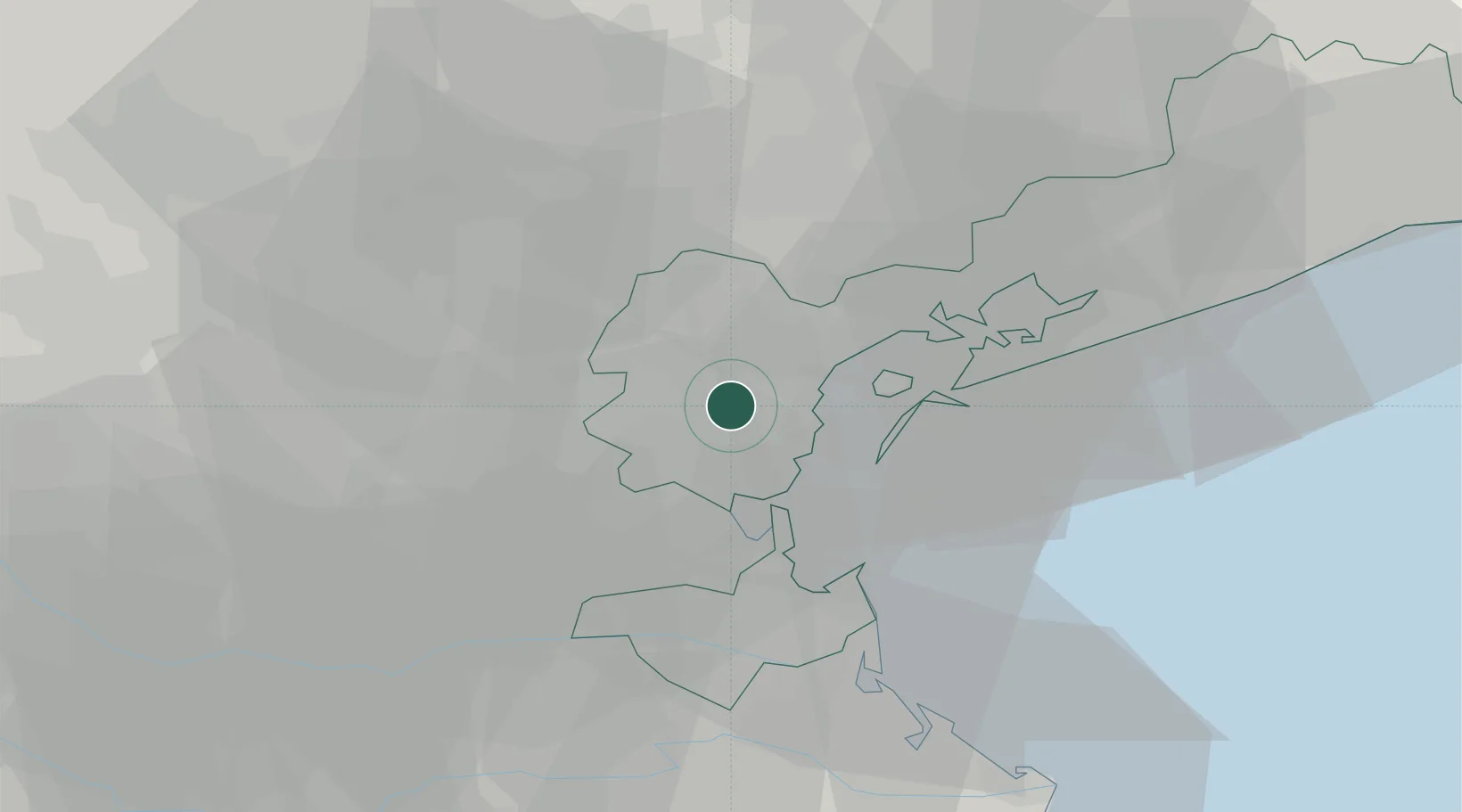
Location
Nearby Logistics Neighbours
Cities
- 1Oriago4 km
- 2Malcontenta4 km
- 3Marghera6 km
- 4Fusina7 km
- 5Spinea8 km
Ports
- 1Porto Di Lido-Venezia22 km
- 2Porto Di Chioggia24 km
- 3Porto Garibaldi83 km
- 4Nogaro88 km
- 5Grado95 km
Airports
- 1Venice Marco Polo Airport19 km
- 2Padova Gino Allegri Airfield24 km
- 3Treviso Airport26 km
- 4Istrana Air Base30 km
- 5Aviano Air Base77 km
Trade Zones
DatabookThe Record of Consolidated Knowledge
Italy beyond logistics?