Transport Functions
Rail
Road
Hub Profile
Place type
District seat
Region
Veneto
Population
3,274
Time zone
Europe/Rome
Elevation
5 m
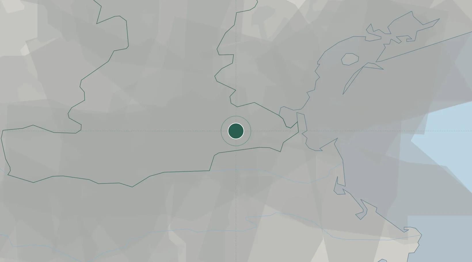
Location
Nearby Logistics Neighbours
Cities
- 1Piove di Sacco4 km
- 2Polverara9 km
- 3Cusignana15 km
- 4Vigonovo15 km
- 5Perarolo di Vigonza19 km
Ports
- 1Porto Di Chioggia21 km
- 2Porto Di Lido-Venezia36 km
- 3Porto Garibaldi66 km
- 4Porto Di Corsini86 km
- 5Nogaro105 km
Airports
Trade Zones
DatabookThe Record of Consolidated Knowledge
Italy beyond logistics?