Transport Functions
Rail
Road
Hub Profile
Place type
District seat
Region
Lombardy
Population
4,003
Time zone
Europe/Rome
Elevation
269 m
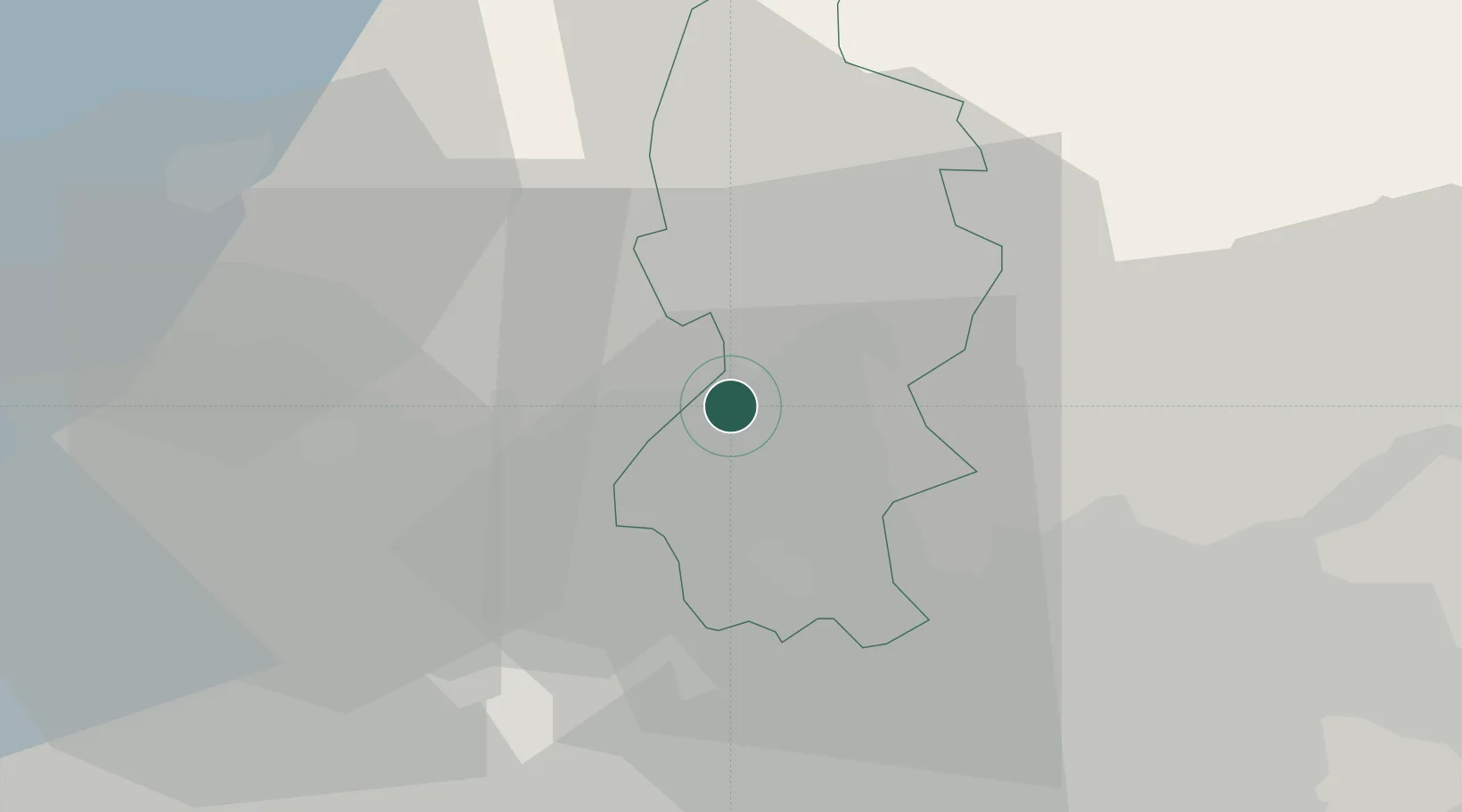
Location
Nearby Logistics Neighbours
Cities
- 1Annone di Brianza4 km
- 2Canzo6 km
- 3Abbadia Lariana7 km
- 4Lasnigo7 km
- 5Mandello del Lario8 km
Ports
- 1Genova163 km
- 2Chiavari - Lavagna170 km
- 3Savona181 km
- 4Rada Di Vado188 km
- 5La Spezia197 km
Airports
Trade Zones
DatabookThe Record of Consolidated Knowledge
Italy beyond logistics?