UN/LOCODE hub · Italy
ITCAS
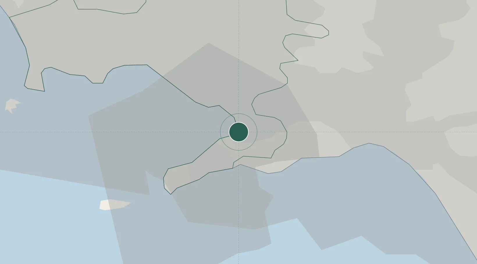
Castellammare di Stabia
40.7000°, 14.4833°
66,164
Population
1
Transport functions
Transport Functions
Port
Hub Profile
Place type
District seat
Region
Campania
Population
66,164
Time zone
Europe/Rome
Elevation
6 m
Location
Nearby Logistics Neighbours
Cities
- 1Gragnano3 km
- 2Pompei4 km
- 3Angri8 km
- 4Meta9 km
- 5Piano di Sorrento11 km
Ports
- 1Torre Annunziata6 km
- 2Torre Del Greco14 km
- 3Salerno23 km
- 4Napoli23 km
- 5Bagnoli30 km
Airports
- 1Naples International Airport26 km
- 2Salerno Costa d'Amalfi Airport37 km
- 3Grazzanise Air Base52 km
- 4Foggia Gino Lisa Airport120 km
- 5Amendola Air Base139 km
DatabookThe Record of Consolidated Knowledge
Italy beyond logistics?