Transport Functions
Port
Rail
Road
Hub Profile
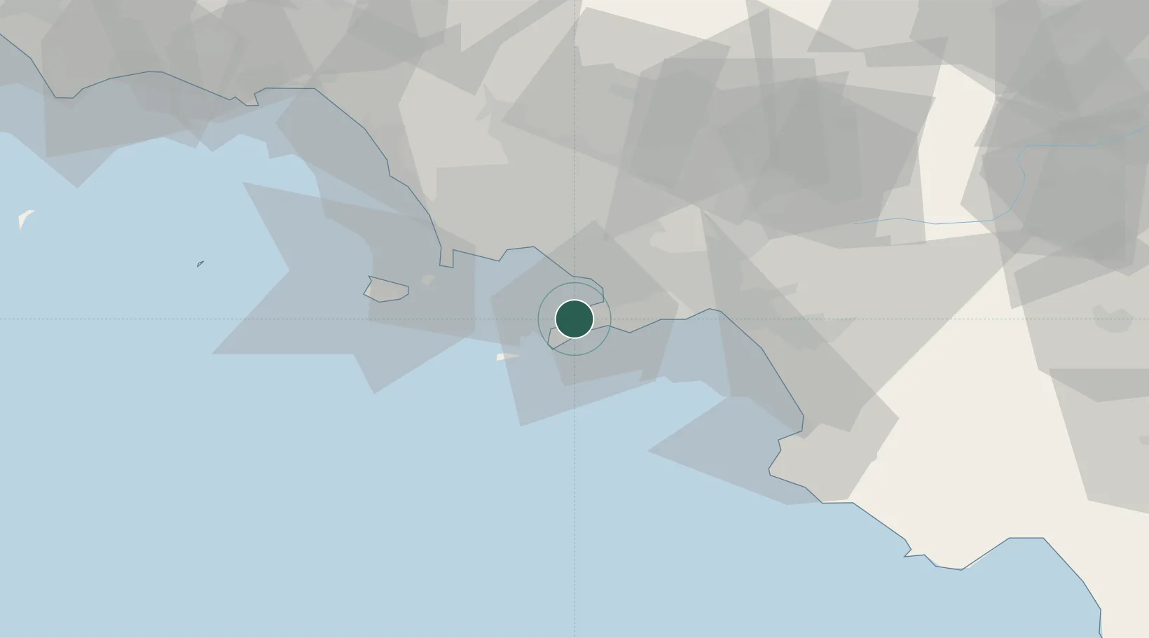
Place type
District seat
Region
Campania
Population
7,598
Time zone
Europe/Rome
Elevation
111 m
Location
Nearby Logistics Neighbours
Cities
- 1Piano di Sorrento2 km
- 2Marina della Lobra8 km
- 3Massa Lubrense8 km
- 4Castellammare di Stabia9 km
- 5Gragnano11 km
Ports
- 1Castellammare Di Stabia9 km
- 2Torre Annunziata12 km
- 3Torre Del Greco15 km
- 4Napoli23 km
- 5Bagnoli27 km
Airports
- 1Naples International Airport28 km
- 2Salerno Costa d'Amalfi Airport43 km
- 3Grazzanise Air Base53 km
- 4Foggia Gino Lisa Airport129 km
- 5Amendola Air Base148 km
DatabookThe Record of Consolidated Knowledge
Italy beyond logistics?