UN/LOCODE hub · Italy
ITPRR
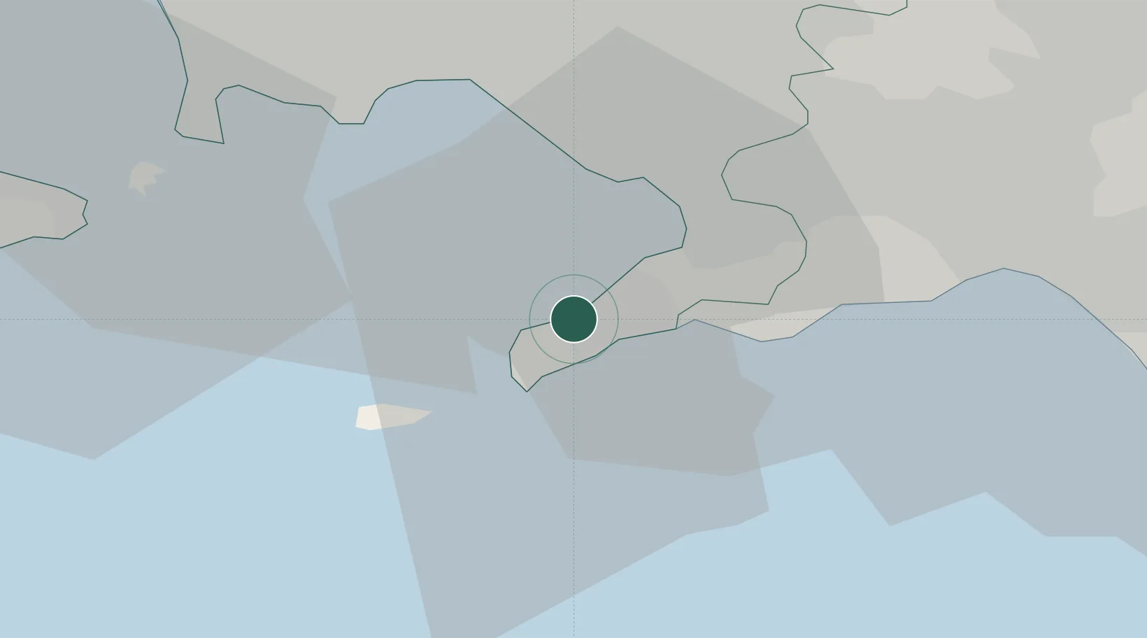
Piano di Sorrento
40.6333°, 14.3833°
12,317
Population
3
Transport functions
Transport Functions
Port
Rail
Road
Hub Profile
Place type
District seat
Region
Campania
Population
12,317
Time zone
Europe/Rome
Elevation
96 m
Location
Nearby Logistics Neighbours
Cities
- 1Meta2 km
- 2Marina della Lobra6 km
- 3Massa Lubrense6 km
- 4Castellammare di Stabia11 km
- 5Gragnano13 km
Ports
- 1Castellammare Di Stabia11 km
- 2Torre Annunziata14 km
- 3Torre Del Greco17 km
- 4Napoli24 km
- 5Bagnoli27 km
Airports
- 1Naples International Airport29 km
- 2Salerno Costa d'Amalfi Airport45 km
- 3Grazzanise Air Base54 km
- 4Foggia Gino Lisa Airport131 km
- 5Amendola Air Base150 km
DatabookThe Record of Consolidated Knowledge
Italy beyond logistics?