Transport Functions
Rail
Road
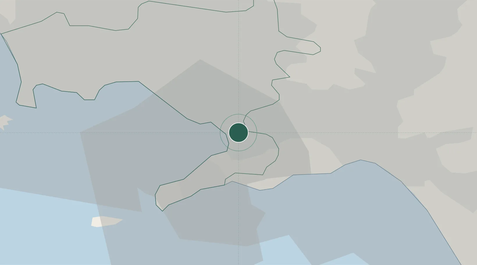
Hub Profile
Place type
District seat
Region
Campania
Population
23,902
Time zone
Europe/Rome
Elevation
14 m
Location
Nearby Logistics Neighbours
Cities
- 1Castellammare di Stabia4 km
- 2Angri6 km
- 3Gragnano6 km
- 4San Giuseppe Vesuviano11 km
- 5Meta13 km
Ports
- 1Castellammare Di Stabia4 km
- 2Torre Annunziata5 km
- 3Torre Del Greco13 km
- 4Napoli22 km
- 5Salerno22 km
Airports
- 1Naples International Airport25 km
- 2Salerno Costa d'Amalfi Airport37 km
- 3Grazzanise Air Base51 km
- 4Foggia Gino Lisa Airport117 km
- 5Amendola Air Base136 km
DatabookThe Record of Consolidated Knowledge
Italy beyond logistics?