Transport Functions
Rail
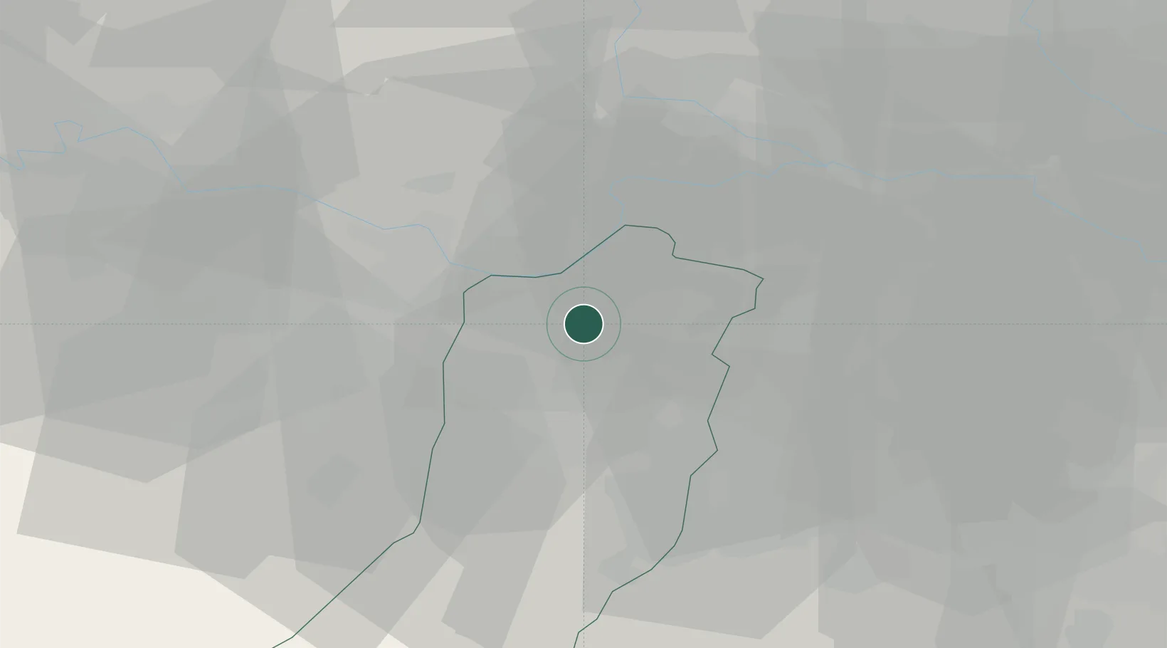
Hub Profile
Place type
Populated place
Region
Emilia-Romagna
Population
2,003
Time zone
Europe/Rome
Elevation
23 m
Location
Nearby Logistics Neighbours
Cities
- 1Pomponesco8 km
- 2Boretto9 km
- 3Campagnola Emilia9 km
- 4Viadana13 km
- 5Villarotta14 km
Ports
- 1Marina Di Carrara103 km
- 2La Spezia105 km
- 3Viareggio114 km
- 4Chiavari - Lavagna120 km
- 5Porto Garibaldi129 km
Airports
Trade Zones
DatabookThe Record of Consolidated Knowledge
Italy beyond logistics?