Transport Functions
Multimodal
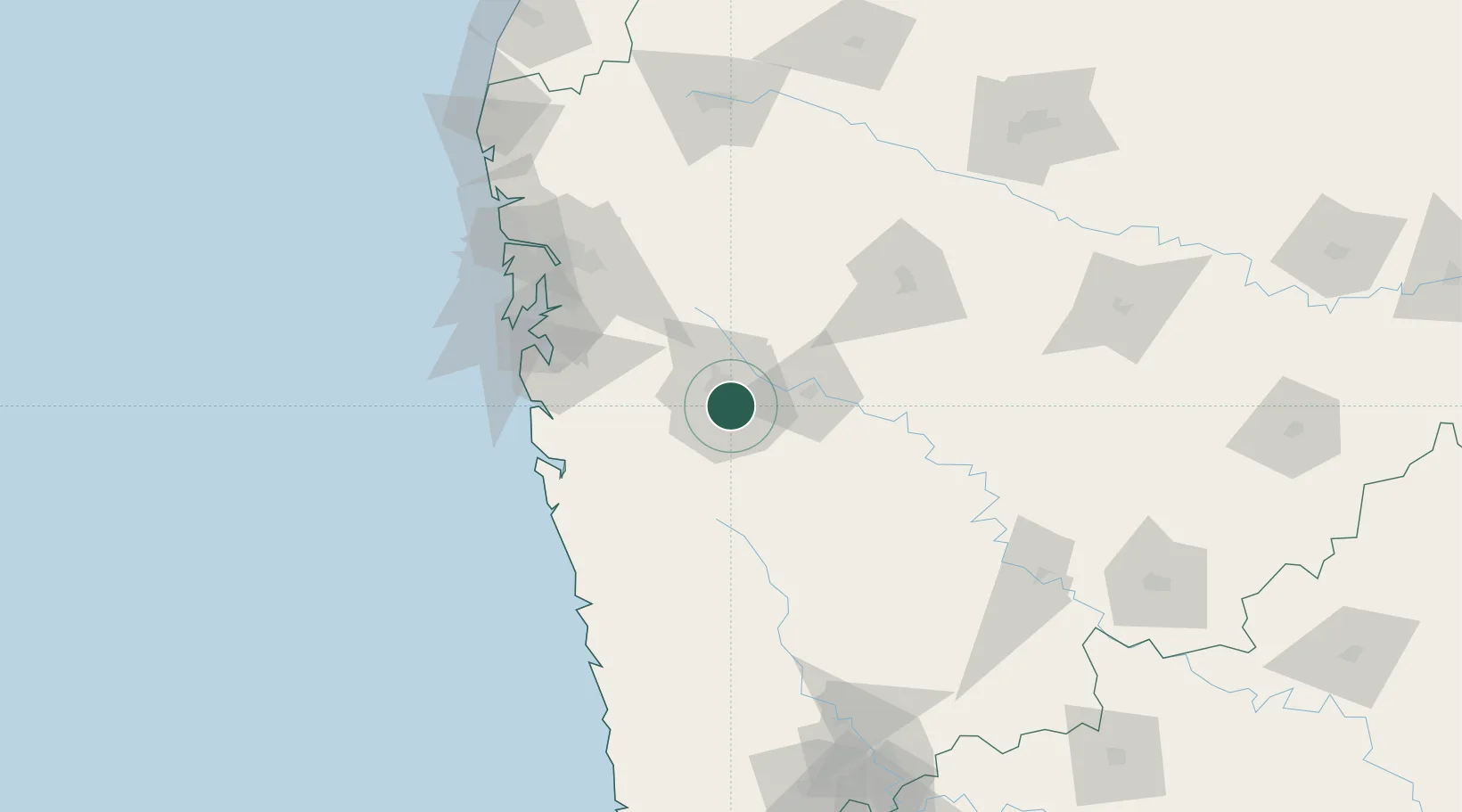
Hub Profile
Place type
Populated place
Region
Maharashtra
Time zone
Asia/Kolkata
Elevation
601 m
Location
Nearby Logistics Neighbours
Cities
- 1EKIPL SEZ/Pune0 km
- 2ITL SEZ/Pune0 km
- 3MTDCCL SEZ/Pune0 km
- 4BTSL SEZ/Pune0 km
- 5SIPL SEZ/Pune0 km
Ports
- 1Jawaharlal Nehru Port (Nhava Shiva)107 km
- 2Mumbai (Bombay)116 km
- 3Port Dabhol129 km
- 4Jaigarh Bay153 km
- 5Ratnagiri183 km
Airports
DatabookThe Record of Consolidated Knowledge
India beyond logistics?