UN/LOCODE hub · India
INKLN

IT-ITES-SEZ/Kalamboli

19.0333°, 73.1000°
1
Transport functions

Transport Functions

Multimodal
UN/LOCODE

Hub Profile

Region
MH
GeoNames

Location

Location of INKLN
Natural Earth 10m (public domain) · MH · INKLN · 19.03, 73.10GoogleOSMYandex

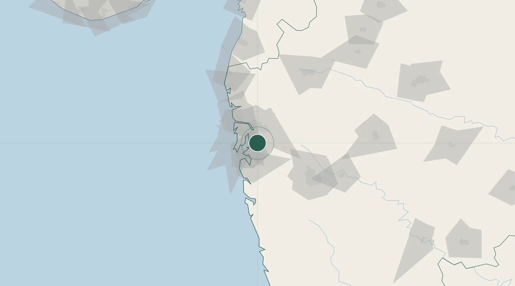
Nearby Logistics Neighbours

Cities
  1. 1Kalamboli0 km
  2. 2Multi Services-SEZ/Kalamboli0 km
  3. 3SVRL SEZ/Raigad6 km
  4. 4Arshiya International Ltd.-SEZ/Panvel6 km
  5. 5Nhave9 km
Nearest neighbours — logibook spatial index (haversine) over the source coordinates
Ports
  1. 1Jawaharlal Nehru Port (Nhava Shiva)18 km
  2. 2Mumbai (Bombay)26 km
  3. 3Port Dabhol161 km
  4. 4Jaigarh Bay193 km
  5. 5Ratnagiri229 km
Nearest neighbours — logibook spatial index (haversine) over the source coordinates
Airports
  1. 1Navi Mumbai International Airport7 km
  2. 2Chhatrapati Shivaji Maharaj International Airport25 km
  3. 3Pune International Airport100 km
  4. 4Nashik International Airport148 km
  5. 5Shirdi International Airport152 km
Nearest neighbours — logibook spatial index (haversine) over the source coordinates
Trade Zones
  1. 1Serene Properties Pvt. Ltd18 km
  2. 2Meditab Specialities Private Limited18 km
  3. 3Hiranandani Business Park22 km
  4. 4Wockhardt Infrastructure Development Ltd.25 km
  5. 5SEEPZ Economic Zone Special26 km
Nearest neighbours — logibook spatial index (haversine) over the source coordinates
DatabookThe Record of Consolidated Knowledge
India beyond logistics?
Browse databook

All Sources

LocationsUN/LOCODE
UN/LOCODE — free
Portsthe NGA World Port Index
Public domain (US gov)
AirportsOurAirports
Public domain
Trade Zonesthe World Bank SEZ database
CC BY 4.0
Trade ZonesOpen Zone Map
CC BY
← India locations