Transport Functions
Port
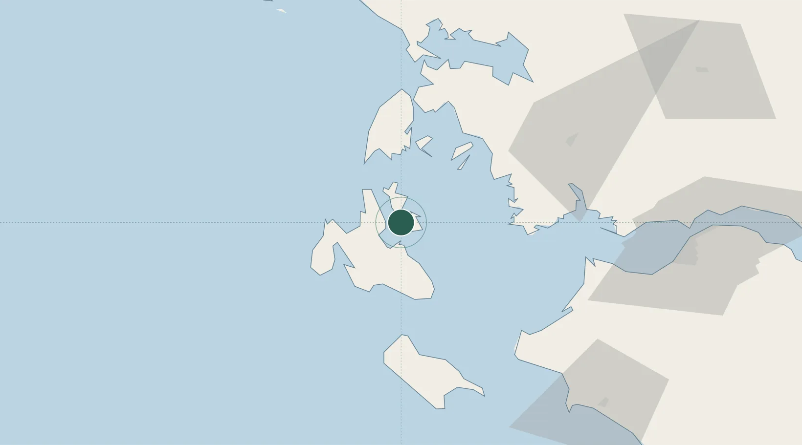
Location
Nearby Logistics Neighbours
Cities
- 1Ithaki (Ithaca)3 km
- 2Agia Efimia9 km
- 3Sámi12 km
- 4Frikes Ithakis13 km
- 5Myrtos Beach13 km
Ports
- 1Argostolion24 km
- 2Astakos39 km
- 3Mesolongion64 km
- 4Preveza67 km
- 5Patrai92 km
Airports
Trade Zones
- 1Free Zone of Platigiali (Astakos Etoloakarnanias)39 km
- 2Gjirokastër Freezone196 km
- 3Përmet Freezone212 km
- 4Korçë Freezone255 km
- 5Free Zone of Piraeus260 km
DatabookThe Record of Consolidated Knowledge
Greece beyond logistics?